Area Overview for B13 9RS
Photos of B13 9RS
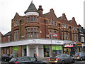
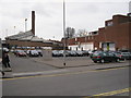
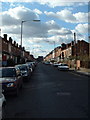
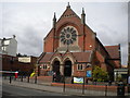

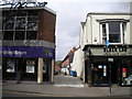
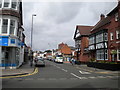
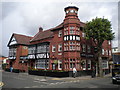
65 photos from this area
Area Information
Key information about the B13 9RS including its size, population, and administrative classification.
- Area Type
- Postcode
- Area Size
- 1.1 hectares
- Population
- 1450
- Population Density
- 5284 people/km²
House Prices in B13 9RS
26
Properties
£212,954
Average Sold Price
£86,500
Lowest Price
£345,000
Highest Price
Showing 26 properties
| Address | Type | Beds | Baths | Last Sale Price | Last Sale Date | |
|---|---|---|---|---|---|---|
| 11 Binton Croft, Birmingham, B13 9RS | Terraced | 2 | 1 | £288,000 | Mar 2025 | |
| 16 Binton Croft, Birmingham, B13 9RS | Terraced | 3 | 1 | £325,000 | Nov 2023 | |
| 21 Binton Croft, Birmingham, B13 9RS | Terraced | 3 | 2 | £315,000 | Jul 2022 | |
| 24 Binton Croft, Birmingham, B13 9RS | house | - | - | £245,000 | Apr 2022 | |
| 19 Binton Croft, Birmingham, B13 9RS | Terraced | 4 | 2 | £345,000 | Mar 2020 | |
| 8 Binton Croft, Birmingham, B13 9RS | Terraced | 3 | 1 | £260,000 | Jan 2020 | |
| 4 Binton Croft, Birmingham, B13 9RS | Semi-detached | - | - | £208,000 | Jul 2017 | |
| 3 Binton Croft, Birmingham, B13 9RS | Terraced | 5 | - | £124,950 | Aug 2014 | |
| 12 Binton Croft, Birmingham, B13 9RS | Terraced | 2 | - | £136,000 | May 2013 | |
| 15 Binton Croft, Birmingham, B13 9RS | house | - | - | £175,000 | Jan 2008 |
Page 1 of 3
Energy Efficiency in B13 9RS
Amenities
Schools
| Rank | School | Type | Entry gender | Ages |
|---|
Explore more schools in this area
Go to Schools tabDemographics
Household Size
Family (3-5 people)
most common
Accommodation Type
Houses
most common
Tenure
68
majority
Ethnic Group
White
most common
Religion
N/A
most common
Household Composition
N/A
most common
Age
47
median
Adults (30-64 years)
most common
Household Deprivation
N/A
with no deprivation
NS-SEC
49
in Lower managerial occupations
Explore more demographic insights in this area
Go to Demographics tabPlanning
Planning Constraints
- Flood RiskPremium
- Ramsar Wetland SitesPremium
- Area of Outstanding Natural BeautyPremium
- Protected Nature ReservePremium
- Protected WoodlandPremium