Area Overview for B13 9PD
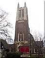
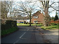
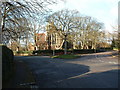
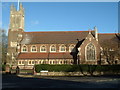
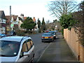
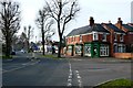
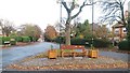
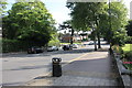
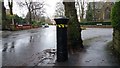
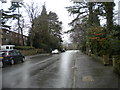
Photos of B13 9PD


Area Information
B13 9PD is a small residential postcode area in Birmingham’s Moseley ward, a historic suburb with roots tracing back to the 19th century. With a population of 1,729, it reflects a tight-knit community shaped by its suburban evolution. The area’s character is defined by its proximity to Moseley Park and Cannon Hill Park, both offering green spaces that contrast with the density of its housing stock. Moseley itself was once an independent village, becoming part of Birmingham in 1911. Today, its streets are lined with flats, reflecting a housing pattern typical of post-war development. Residents benefit from nearby amenities such as Moseley Hall, Spring Hill College, and the Moseley Tunnel, a relic of early railway engineering. The area’s connectivity is strong, with multiple railway stations within reach, linking it to Birmingham New Street and beyond. Living here means balancing suburban tranquillity with access to urban infrastructure, making it appealing to those seeking a mix of community and convenience.
- Area Type
- Postcode
- Area Size
- Not available
- Population
- 1729
- Population Density
- 3872 people/km²
B13 9PD’s property market is dominated by flats, a legacy of mid-20th-century housing developments. With 59% of homes owner-occupied, the area leans towards a mix of long-term residents and renters, though the exact proportion of rental properties is unspecified. The prevalence of flats suggests a compact, efficient housing stock, which may appeal to buyers seeking affordability or proximity to amenities. However, the small size of the postcode area means the market is limited in scope, with little variation in property types. Buyers should consider the area’s density when evaluating potential homes, as the flat-dominated landscape may not suit those seeking larger, detached properties. The local housing stock reflects a pragmatic approach to urban living, prioritising accessibility over expansive layouts.
House Prices in B13 9PD
No properties found in this postcode.
Energy Efficiency in B13 9PD
B13 9PD’s lifestyle is enriched by nearby amenities, including five retail outlets such as M&S Moseley, Co-op Moseley, and Asda Kings, providing everyday shopping convenience. The area’s proximity to Moseley Park and Cannon Hill Park offers recreational opportunities, from walking trails to open spaces for family activities. Transport links to railway stations and metro stops enhance accessibility to Birmingham’s cultural and commercial hubs. The presence of historical landmarks like Moseley Hall and Spring Hill College adds a layer of heritage to daily life. While the data does not specify dining or leisure venues, the density of retail and transport options suggests a community that prioritises practicality and connectivity in its lifestyle choices.
Amenities
Schools
The nearest school to B13 9PD is Elmgreen School, a special school serving students with specific educational needs. No other schools are listed in the data, so families relying on mainstream education may need to look beyond the immediate area. The presence of a special school highlights the community’s commitment to inclusive education but does not provide information on primary or secondary schools. Parents should investigate nearby institutions, as the data does not confirm the availability of other school types. The limited school options may influence decisions about proximity to other educational facilities or the need for additional transport arrangements.
| Rank | School | Type | Entry gender | Ages |
|---|
Explore more schools in this area
Go to Schools tabDemographics
The median age in B13 9PD is 47, with the majority of residents falling into the 30–64 age range. This suggests a mature, stable population, likely with established careers and families. Home ownership stands at 59%, indicating a mix of owner-occupied properties and rental units. The predominant accommodation type is flats, reflecting the area’s post-war housing stock. The predominant ethnic group is White, though specific diversity metrics are not provided. The absence of detailed deprivation data means no direct conclusions can be drawn about economic hardship, but the low crime score of 73 (on a 100-point scale, with lower scores indicating less risk) suggests a generally safe and orderly environment. This demographic profile points to a community that values stability, with a focus on family-oriented living and long-term residency.
Household Size
Accommodation Type
Tenure
Ethnic Group
Religion
Household Composition
Age
Household Deprivation
NS-SEC
Explore more demographic insights in this area
Go to Demographics tabPlanning
Planning Constraints
- Flood RiskPremium
- Ramsar Wetland SitesPremium
- Area of Outstanding Natural BeautyPremium
- Protected Nature ReservePremium
- Protected WoodlandPremium