Area Overview for B13 9AJ
Photos of B13 9AJ
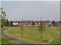
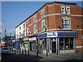
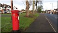
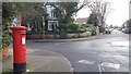
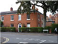
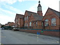
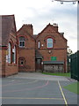
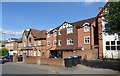
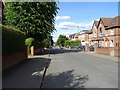
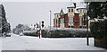
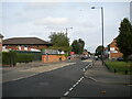
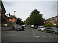
37 photos from this area
Area Information
Key information about the B13 9AJ including its size, population, and administrative classification.
- Area Type
- Postcode
- Area Size
- 9525 m²
- Population
- 2748
- Population Density
- 12053 people/km²
House Prices in B13 9AJ
49
Properties
£162,846
Average Sold Price
£50,000
Lowest Price
£353,000
Highest Price
Showing 49 properties
| Address | Type | Beds | Baths | Last Sale Price | Last Sale Date | |
|---|---|---|---|---|---|---|
| Flat 1, 1 Chestnut Road, Birmingham, B13 9AJ | Flat | 2 | 1 | £108,000 | Jul 2024 | |
| 51 Chestnut Road, Birmingham, B13 9AJ | Terraced | 4 | 3 | £353,000 | Dec 2022 | |
| 31 Chestnut Road, Birmingham, B13 9AJ | Terraced | 4 | 2 | £330,000 | Oct 2022 | |
| 29 Chestnut Road, Birmingham, B13 9AJ | house | - | - | £225,000 | Jun 2022 | |
| 5A Chestnut Road, Birmingham, B13 9AJ | Flat | 2 | 1 | £173,500 | Apr 2021 | |
| 1A Chestnut Road, Birmingham, B13 9AJ | Maisonette | 2 | 1 | £125,000 | Nov 2016 | |
| 35 Chestnut Road, Birmingham, B13 9AJ | house | - | - | £177,000 | Aug 2008 | |
| 3A Chestnut Road, Birmingham, B13 9AJ | Maisonette | 2 | 1 | £132,000 | Oct 2007 | |
| 7 Chestnut Road, Birmingham, B13 9AJ | Parking | - | - | £116,000 | Sep 2007 | |
| 55 Chestnut Road, Birmingham, B13 9AJ | house | - | - | £157,000 | Mar 2006 |
Page 1 of 5
Energy Efficiency in B13 9AJ
Amenities
Schools
| Rank | School | Type | Entry gender | Ages |
|---|
Explore more schools in this area
Go to Schools tabDemographics
Household Size
One person
most common
Accommodation Type
Houses
most common
Tenure
42
majority
Ethnic Group
asian_total
most common
Religion
N/A
most common
Household Composition
N/A
most common
Age
47
median
Adults (30-64 years)
most common
Household Deprivation
N/A
with no deprivation
NS-SEC
16
in Lower managerial occupations
Explore more demographic insights in this area
Go to Demographics tabPlanning
Planning Constraints
- Flood RiskPremium
- Ramsar Wetland SitesPremium
- Area of Outstanding Natural BeautyPremium
- Protected Nature ReservePremium
- Protected WoodlandPremium