Area Overview for B13 8NL
Photos of B13 8NL
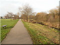
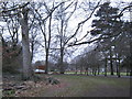
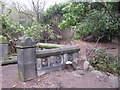
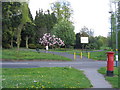
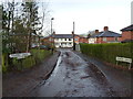
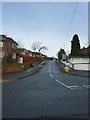
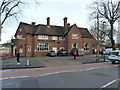
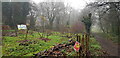
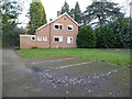
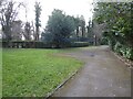
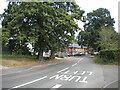
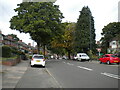
77 photos from this area
Area Information
Key information about the B13 8NL including its size, population, and administrative classification.
- Area Type
- Postcode
- Area Size
- 13.5 hectares
- Population
- 1785
- Population Density
- 1402 people/km²
House Prices in B13 8NL
21
Properties
£335,859
Average Sold Price
£77,950
Lowest Price
£600,000
Highest Price
Showing 21 properties
| Address | Type | Beds | Baths | Last Sale Price | Last Sale Date | |
|---|---|---|---|---|---|---|
| 12 Holders Lane, Birmingham, B13 8NL | Semi-detached | 4 | 1 | £540,000 | Jul 2024 | |
| 42 Holders Lane, Birmingham, B13 8NL | Terraced | 4 | 1 | £378,000 | Dec 2022 | |
| 11 Holders Lane, Birmingham, B13 8NL | Detached | 4 | 4 | £600,000 | Apr 2020 | |
| 3 Holders Lane, Birmingham, B13 8NL | Detached | 4 | 3 | £480,000 | Sep 2019 | |
| 9 Holders Lane, Birmingham, B13 8NL | house | - | - | £600,000 | Nov 2017 | |
| 14 Holders Lane, Birmingham, B13 8NL | Semi-detached | 3 | - | £230,000 | Jan 2013 | |
| 30 Holders Lane, Birmingham, B13 8NL | Terraced | - | - | £103,500 | Mar 2007 | |
| 1 Holders Lane, Birmingham, B13 8NL | Semi-detached | 4 | 1 | £265,000 | Jun 2002 | |
| 7 Holders Lane, Birmingham, B13 8NL | Semi-detached | - | - | £305,000 | Nov 2001 | |
| 40 Holders Lane, Birmingham, B13 8NL | Terraced | - | - | £77,950 | Mar 2001 |
Page 1 of 3
Energy Efficiency in B13 8NL
Amenities
Schools
| Rank | School | Type | Entry gender | Ages |
|---|
Explore more schools in this area
Go to Schools tabDemographics
Household Size
One person
most common
Accommodation Type
Houses
most common
Tenure
59
majority
Ethnic Group
White
most common
Religion
N/A
most common
Household Composition
N/A
most common
Age
47
median
Adults (30-64 years)
most common
Household Deprivation
N/A
with no deprivation
NS-SEC
49
in Lower managerial occupations
Explore more demographic insights in this area
Go to Demographics tabPlanning
Planning Constraints
- Flood RiskPremium
- Ramsar Wetland SitesPremium
- Area of Outstanding Natural BeautyPremium
- Protected Nature ReservePremium
- Protected WoodlandPremium