Area Overview for B13 8EB
Photos of B13 8EB
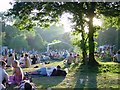
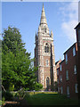
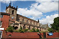
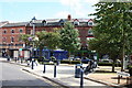
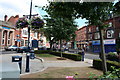

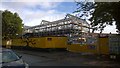
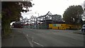
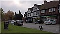
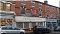
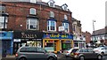
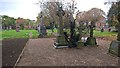
100 photos from this area
Area Information
Key information about the B13 8EB including its size, population, and administrative classification.
- Area Type
- Postcode
- Area Size
- 9570 m²
- Population
- 1535
- Population Density
- 3475 people/km²
House Prices in B13 8EB
45
Properties
£404,590
Average Sold Price
£82,000
Lowest Price
£585,000
Highest Price
Showing 45 properties
| Address | Type | Beds | Baths | Last Sale Price | Last Sale Date | |
|---|---|---|---|---|---|---|
| 81 Alcester Road, Birmingham, B13 8EB | Terraced | 5 | 3 | £585,000 | Aug 2021 | |
| 75 Alcester Road, Birmingham, B13 8EB | Flat | 1 | 1 | £400,000 | Apr 2019 | |
| 57 Alcester Road, Birmingham, B13 8EB | house | 7 | 2 | £475,950 | Sep 2018 | |
| 51 Alcester Road, Birmingham, B13 8EB | Detached | 8 | 4 | £480,000 | May 2017 | |
| 69A Alcester Road, Birmingham, B13 8EB | house | - | - | £82,000 | Jul 1997 | |
| Flat 2, 91 Alcester Road, Birmingham, B13 8EB | Flat | 2 | 2 | - | - | |
| Coach House, 91 Alcester Road, Birmingham, B13 8EB | Detached | 3 | 2 | - | - | |
| Flat 1, 79 Alcester Road, Birmingham, B13 8EB | Terraced | 5 | 3 | - | - | |
| First Floor, 75 Alcester Road, Birmingham, B13 8EB | Flat | - | - | - | - | |
| Ground Floor, 75 Alcester Road, Birmingham, B13 8EB | Flat | - | - | - | - |
Page 1 of 5
Energy Efficiency in B13 8EB
Amenities
Schools
| Rank | School | Type | Entry gender | Ages |
|---|
Explore more schools in this area
Go to Schools tabDemographics
Household Size
One person
most common
Accommodation Type
Houses
most common
Tenure
47
majority
Ethnic Group
White
most common
Religion
N/A
most common
Household Composition
N/A
most common
Age
47
median
Adults (30-64 years)
most common
Household Deprivation
N/A
with no deprivation
NS-SEC
50
in Lower managerial occupations
Explore more demographic insights in this area
Go to Demographics tabPlanning
Planning Constraints
- Flood RiskPremium
- Ramsar Wetland SitesPremium
- Area of Outstanding Natural BeautyPremium
- Protected Nature ReservePremium
- Protected WoodlandPremium