Area Overview for B13 0SB
Photos of B13 0SB
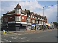
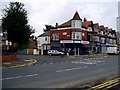
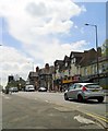
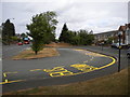
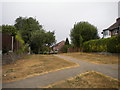
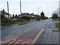
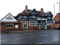
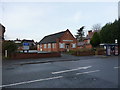
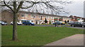

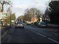
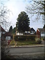
20 photos from this area
Area Information
Key information about the B13 0SB including its size, population, and administrative classification.
- Area Type
- Postcode
- Area Size
- 7790 m²
- Population
- 1806
- Population Density
- 5314 people/km²
House Prices in B13 0SB
10
Properties
£283,214
Average Sold Price
£85,000
Lowest Price
£531,000
Highest Price
Showing 10 properties
| Address | Type | Beds | Baths | Last Sale Price | Last Sale Date | |
|---|---|---|---|---|---|---|
| 27 Wheelers Lane, Birmingham, B13 0SB | Detached | 3 | 1 | £531,000 | Aug 2025 | |
| 31 Wheelers Lane, Birmingham, B13 0SB | Detached | 4 | 1 | £395,000 | Dec 2016 | |
| 33 Wheelers Lane, Birmingham, B13 0SB | house | - | - | £250,000 | Dec 2012 | |
| 43 Wheelers Lane, Birmingham, B13 0SB | house | - | - | £246,500 | May 2012 | |
| 29 Wheelers Lane, Birmingham, B13 0SB | Semi-detached | - | - | £330,000 | Nov 2010 | |
| 25 Wheelers Lane, Birmingham, B13 0SB | house | - | - | £145,000 | Jan 2001 | |
| 35 Wheelers Lane, Birmingham, B13 0SB | Detached | - | - | £85,000 | Jun 1996 | |
| 17 Wheelers Lane, Birmingham, B13 0SB | Detached | 3 | 1 | - | - | |
| 15 Wheelers Lane, Birmingham, B13 0SB | Detached | - | - | - | - | |
| 19 Wheelers Lane, Birmingham, B13 0SB | Detached | - | - | - | - |
Energy Efficiency in B13 0SB
Amenities
Schools
| Rank | School | Type | Entry gender | Ages |
|---|
Explore more schools in this area
Go to Schools tabDemographics
Household Size
Family (3-5 people)
most common
Accommodation Type
Houses
most common
Tenure
80
majority
Ethnic Group
White
most common
Religion
N/A
most common
Household Composition
N/A
most common
Age
47
median
Adults (30-64 years)
most common
Household Deprivation
N/A
with no deprivation
NS-SEC
44
in Lower managerial occupations
Explore more demographic insights in this area
Go to Demographics tabPlanning
Planning Constraints
- Flood RiskPremium
- Ramsar Wetland SitesPremium
- Area of Outstanding Natural BeautyPremium
- Protected Nature ReservePremium
- Protected WoodlandPremium