Area Overview for B13 0RY
Photos of B13 0RY

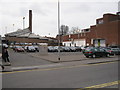
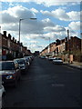


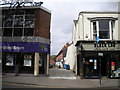
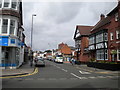
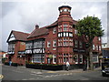
65 photos from this area
Area Information
Key information about the B13 0RY including its size, population, and administrative classification.
- Area Type
- Postcode
- Area Size
- 2.0 hectares
- Population
- 1806
- Population Density
- 5314 people/km²
House Prices in B13 0RY
18
Properties
£289,297
Average Sold Price
£110,000
Lowest Price
£565,000
Highest Price
Showing 18 properties
| Address | Type | Beds | Baths | Last Sale Price | Last Sale Date | |
|---|---|---|---|---|---|---|
| 51 Howard Road East, Birmingham, B13 0RY | Detached | 4 | 3 | £565,000 | Jan 2025 | |
| 49 Howard Road East, Birmingham, B13 0RY | Detached | 3 | 1 | £462,000 | Feb 2023 | |
| 33 Howard Road East, Birmingham, B13 0RY | Detached | 3 | - | £540,000 | Nov 2022 | |
| 47 Howard Road East, Birmingham, B13 0RY | Detached | 4 | 1 | £339,050 | Jan 2017 | |
| 43 Howard Road East, Birmingham, B13 0RY | Detached | 5 | 1 | £435,000 | Dec 2016 | |
| 44 Howard Road East, Birmingham, B13 0RY | Semi-detached | 3 | 2 | £176,000 | Feb 2016 | |
| 38 Howard Road East, Birmingham, B13 0RY | house | - | - | £265,000 | Jan 2016 | |
| 35 Howard Road East, Birmingham, B13 0RY | house | - | - | £249,950 | May 2014 | |
| 41 Howard Road East, Birmingham, B13 0RY | Detached | 3 | 1 | £289,950 | Apr 2010 | |
| 45 Howard Road East, Birmingham, B13 0RY | house | - | - | £216,000 | Apr 2009 |
Page 1 of 2
Energy Efficiency in B13 0RY
Amenities
Schools
| Rank | School | Type | Entry gender | Ages |
|---|
Explore more schools in this area
Go to Schools tabDemographics
Household Size
Family (3-5 people)
most common
Accommodation Type
Houses
most common
Tenure
80
majority
Ethnic Group
White
most common
Religion
N/A
most common
Household Composition
N/A
most common
Age
47
median
Adults (30-64 years)
most common
Household Deprivation
N/A
with no deprivation
NS-SEC
44
in Lower managerial occupations
Explore more demographic insights in this area
Go to Demographics tabPlanning
Planning Constraints
- Flood RiskPremium
- Ramsar Wetland SitesPremium
- Area of Outstanding Natural BeautyPremium
- Protected Nature ReservePremium
- Protected WoodlandPremium