Area Overview for B13 0RW
Photos of B13 0RW
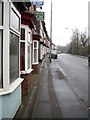
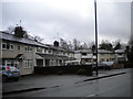
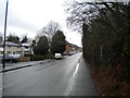
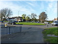
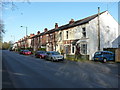
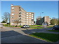
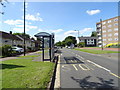
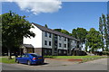
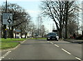
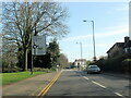
24 photos from this area
Area Information
Key information about the B13 0RW including its size, population, and administrative classification.
- Area Type
- Postcode
- Area Size
- 2.4 hectares
- Population
- 1650
- Population Density
- 4857 people/km²
House Prices in B13 0RW
40
Properties
£127,170
Average Sold Price
£52,100
Lowest Price
£200,000
Highest Price
Showing 40 properties
| Address | Type | Beds | Baths | Last Sale Price | Last Sale Date | |
|---|---|---|---|---|---|---|
| 86 Ardencote Road, Birmingham, B13 0RW | Semi-detached | 3 | 1 | £200,000 | Jan 2025 | |
| 62 Ardencote Road, Birmingham, B13 0RW | Maisonette | 3 | - | £127,500 | Nov 2021 | |
| 67 Ardencote Road, Birmingham, B13 0RW | house | - | - | £162,000 | Apr 2021 | |
| 80 Ardencote Road, Birmingham, B13 0RW | house | - | - | £189,950 | Oct 2020 | |
| 84 Ardencote Road, Birmingham, B13 0RW | house | 3 | - | £120,000 | Feb 2019 | |
| 73 Ardencote Road, Birmingham, B13 0RW | Semi-detached | 3 | - | £160,000 | Jun 2018 | |
| 71 Ardencote Road, Birmingham, B13 0RW | Semi-detached | 3 | 1 | £145,000 | Apr 2018 | |
| 45 Ardencote Road, Birmingham, B13 0RW | Terraced | 3 | - | £82,500 | Dec 2015 | |
| 57 Ardencote Road, Birmingham, B13 0RW | Terraced | 3 | - | £110,000 | Feb 2014 | |
| 100 Ardencote Road, Birmingham, B13 0RW | Terraced | 2 | 1 | £75,000 | Jun 2010 |
Page 1 of 4
Energy Efficiency in B13 0RW
Amenities
Schools
| Rank | School | Type | Entry gender | Ages |
|---|
Explore more schools in this area
Go to Schools tabDemographics
Household Size
Family (3-5 people)
most common
Accommodation Type
Houses
most common
Tenure
58
majority
Ethnic Group
White
most common
Religion
N/A
most common
Household Composition
N/A
most common
Age
47
median
Adults (30-64 years)
most common
Household Deprivation
N/A
with no deprivation
NS-SEC
33
in Lower managerial occupations
Explore more demographic insights in this area
Go to Demographics tabPlanning
Planning Constraints
- Flood RiskPremium
- Ramsar Wetland SitesPremium
- Area of Outstanding Natural BeautyPremium
- Protected Nature ReservePremium
- Protected WoodlandPremium