Area Overview for B13 0QF
Photos of B13 0QF
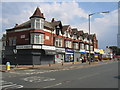
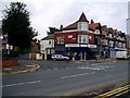
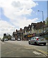
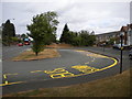
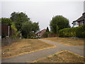
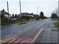
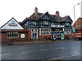
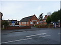
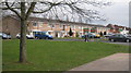

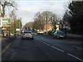
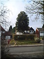
20 photos from this area
Area Information
Key information about the B13 0QF including its size, population, and administrative classification.
- Area Type
- Postcode
- Area Size
- 1.5 hectares
- Population
- 1650
- Population Density
- 4857 people/km²
House Prices in B13 0QF
22
Properties
£324,686
Average Sold Price
£169,000
Lowest Price
£442,000
Highest Price
Showing 22 properties
| Address | Type | Beds | Baths | Last Sale Price | Last Sale Date | |
|---|---|---|---|---|---|---|
| 32 Chesterwood Road, Birmingham, B13 0QF | house | - | - | £420,000 | Apr 2021 | |
| 10 Chesterwood Road, Birmingham, B13 0QF | Detached | 3 | 1 | £442,000 | Oct 2020 | |
| 20 Chesterwood Road, Birmingham, B13 0QF | Detached | 3 | 1 | £412,000 | Nov 2019 | |
| 14 Chesterwood Road, Birmingham, B13 0QF | Detached | 4 | 1 | £380,050 | Jan 2018 | |
| 36 Chesterwood Road, Birmingham, B13 0QF | Detached | 3 | 1 | £377,500 | Jan 2016 | |
| 18 Chesterwood Road, Birmingham, B13 0QF | Detached | 4 | - | £300,000 | Dec 2014 | |
| 12 Chesterwood Road, Birmingham, B13 0QF | house | - | - | £266,000 | Jun 2012 | |
| 34 Chesterwood Road, Birmingham, B13 0QF | house | - | - | £300,000 | Jun 2012 | |
| 2 Chesterwood Road, Birmingham, B13 0QF | Detached | 5 | 2 | £335,000 | Sep 2007 | |
| 44 Chesterwood Road, Birmingham, B13 0QF | house | - | - | £170,000 | Jul 2001 |
Page 1 of 3
Energy Efficiency in B13 0QF
Amenities
Schools
| Rank | School | Type | Entry gender | Ages |
|---|
Explore more schools in this area
Go to Schools tabDemographics
Household Size
Family (3-5 people)
most common
Accommodation Type
Houses
most common
Tenure
58
majority
Ethnic Group
White
most common
Religion
N/A
most common
Household Composition
N/A
most common
Age
47
median
Adults (30-64 years)
most common
Household Deprivation
N/A
with no deprivation
NS-SEC
33
in Lower managerial occupations
Explore more demographic insights in this area
Go to Demographics tabPlanning
Planning Constraints
- Flood RiskPremium
- Ramsar Wetland SitesPremium
- Area of Outstanding Natural BeautyPremium
- Protected Nature ReservePremium
- Protected WoodlandPremium