Area Overview for B13 0EB
Photos of B13 0EB
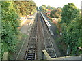
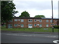
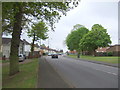
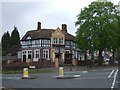
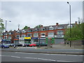
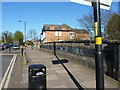
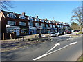
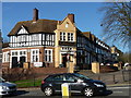
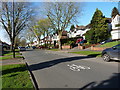
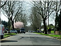
35 photos from this area
Area Information
Key information about the B13 0EB including its size, population, and administrative classification.
- Area Type
- Postcode
- Area Size
- 1.5 hectares
- Population
- 1604
- Population Density
- 4603 people/km²
House Prices in B13 0EB
40
Properties
£172,538
Average Sold Price
£52,850
Lowest Price
£370,000
Highest Price
Showing 40 properties
| Address | Type | Beds | Baths | Last Sale Price | Last Sale Date | |
|---|---|---|---|---|---|---|
| 125 Westridge Road, Birmingham, B13 0EB | house | - | - | £262,000 | Nov 2021 | |
| 141 Westridge Road, Birmingham, B13 0EB | Semi-detached | 3 | 1 | £235,000 | Sep 2021 | |
| 167 Westridge Road, Birmingham, B13 0EB | house | - | - | £265,000 | Jun 2021 | |
| 143 Westridge Road, Birmingham, B13 0EB | Semi-detached | 5 | 2 | £370,000 | Feb 2020 | |
| 149 Westridge Road, Birmingham, B13 0EB | Semi-detached | 3 | 1 | £251,000 | May 2018 | |
| 161 Westridge Road, Birmingham, B13 0EB | Semi-detached | 3 | 1 | £243,500 | Feb 2018 | |
| 163 Westridge Road, Birmingham, B13 0EB | Semi-detached | 4 | 2 | £260,000 | Sep 2017 | |
| 165 Westridge Road, Birmingham, B13 0EB | house | - | - | £216,000 | Jan 2017 | |
| 147 Westridge Road, Birmingham, B13 0EB | Semi-detached | 3 | 1 | £186,000 | Jul 2015 | |
| 131 Westridge Road, Birmingham, B13 0EB | Semi-detached | 3 | 1 | £189,950 | Mar 2015 |
Page 1 of 4
Energy Efficiency in B13 0EB
Amenities
Schools
| Rank | School | Type | Entry gender | Ages |
|---|
Explore more schools in this area
Go to Schools tabDemographics
Household Size
Family (3-5 people)
most common
Accommodation Type
Houses
most common
Tenure
50
majority
Ethnic Group
White
most common
Religion
N/A
most common
Household Composition
N/A
most common
Age
47
median
Adults (30-64 years)
most common
Household Deprivation
N/A
with no deprivation
NS-SEC
23
in Lower managerial occupations
Explore more demographic insights in this area
Go to Demographics tabPlanning
Planning Constraints
- Flood RiskPremium
- Ramsar Wetland SitesPremium
- Area of Outstanding Natural BeautyPremium
- Protected Nature ReservePremium
- Protected WoodlandPremium