Area Overview for B13 0AN
Photos of B13 0AN
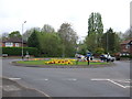
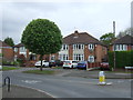
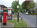
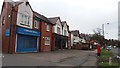
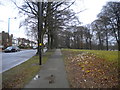
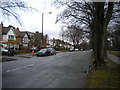
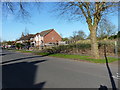
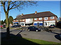
79 photos from this area
Area Information
Key information about the B13 0AN including its size, population, and administrative classification.
- Area Type
- Postcode
- Area Size
- 1.1 hectares
- Population
- 1740
- Population Density
- 2024 people/km²
House Prices in B13 0AN
20
Properties
£213,154
Average Sold Price
£53,000
Lowest Price
£475,000
Highest Price
Showing 20 properties
| Address | Type | Beds | Baths | Last Sale Price | Last Sale Date | |
|---|---|---|---|---|---|---|
| 134 Swanshurst Lane, Birmingham, B13 0AN | house | - | - | £150,000 | Apr 2025 | |
| 142 Swanshurst Lane, Birmingham, B13 0AN | Semi-detached | 4 | 1 | £475,000 | Oct 2024 | |
| 138 Swanshurst Lane, Birmingham, B13 0AN | Semi-detached | 4 | 1 | £415,000 | Feb 2019 | |
| 116 Swanshurst Lane, Birmingham, B13 0AN | house | - | - | £201,000 | Jan 2011 | |
| 130 Swanshurst Lane, Birmingham, B13 0AN | house | - | - | £280,000 | Dec 2010 | |
| 140 Swanshurst Lane, Birmingham, B13 0AN | Semi-detached | - | - | £340,000 | Feb 2007 | |
| 122 Swanshurst Lane, Birmingham, B13 0AN | house | - | - | £315,000 | Nov 2006 | |
| 114 Swanshurst Lane, Birmingham, B13 0AN | house | - | - | £170,000 | May 2006 | |
| 106 Swanshurst Lane, Birmingham, B13 0AN | Detached | - | - | £120,000 | Jun 2000 | |
| 126 Swanshurst Lane, Birmingham, B13 0AN | Semi-detached | 4 | - | £97,000 | Sep 1998 |
Page 1 of 2
Energy Efficiency in B13 0AN
Amenities
Schools
| Rank | School | Type | Entry gender | Ages |
|---|
Explore more schools in this area
Go to Schools tabDemographics
Household Size
One person
most common
Accommodation Type
Houses
most common
Tenure
62
majority
Ethnic Group
asian_total
most common
Religion
N/A
most common
Household Composition
N/A
most common
Age
47
median
Adults (30-64 years)
most common
Household Deprivation
N/A
with no deprivation
NS-SEC
34
in Lower managerial occupations
Explore more demographic insights in this area
Go to Demographics tabPlanning
Planning Constraints
- Flood RiskPremium
- Ramsar Wetland SitesPremium
- Area of Outstanding Natural BeautyPremium
- Protected Nature ReservePremium
- Protected WoodlandPremium