Area Overview for B12 9LP
Photos of B12 9LP
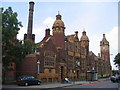
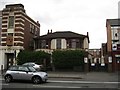
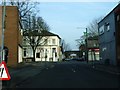
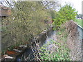
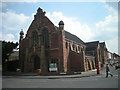
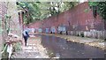
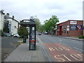
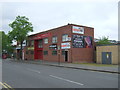
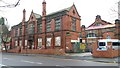
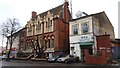
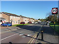
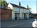
79 photos from this area
Area Information
Key information about the B12 9LP including its size, population, and administrative classification.
- Area Type
- Postcode
- Area Size
- 8561 m²
- Population
- 1215
- Population Density
- 5607 people/km²
House Prices in B12 9LP
15
Properties
£145,000
Average Sold Price
£145,000
Lowest Price
£145,000
Highest Price
Showing 15 properties
| Address | Type | Beds | Baths | Last Sale Price | Last Sale Date | |
|---|---|---|---|---|---|---|
| 61 Edward Road, Sparkbrook, Birmingham, B12 9LP | house | - | - | £145,000 | Aug 2007 | |
| 57 Edward Road, Sparkbrook, Birmingham, B12 9LP | house | 6 | 2 | - | - | |
| Pharmacy, Balsall Heath Health Centre, 43 Edward Road, Sparkbrook, Birmingham, B12 9LP | commercial | - | - | - | - | |
| Woodbridge Court, Edward Road, Sparkbrook, Birmingham, B12 9LP | Retail | - | - | - | - | |
| Balsall Heath Pharmacy, 1 Edward Road, Sparkbrook, Birmingham, B12 9LP | retail_financial | - | - | - | - | |
| 65 Edward Road, Sparkbrook, Birmingham, B12 9LP | Terraced | - | - | - | - | |
| 67 Edward Road, Sparkbrook, Birmingham, B12 9LP | Terraced | - | - | - | - | |
| 63 Edward Road, Sparkbrook, Birmingham, B12 9LP | Terraced | - | - | - | - | |
| 51 Edward Road, Sparkbrook, Birmingham, B12 9LP | house | - | - | - | - | |
| 59 Edward Road, Sparkbrook, Birmingham, B12 9LP | house | - | - | - | - |
Page 1 of 2
Energy Efficiency in B12 9LP
Amenities
Schools
| Rank | School | Type | Entry gender | Ages |
|---|
Explore more schools in this area
Go to Schools tabDemographics
Household Size
One person
most common
Accommodation Type
Houses
most common
Tenure
39
majority
Ethnic Group
asian_total
most common
Religion
N/A
most common
Household Composition
N/A
most common
Age
47
median
Adults (30-64 years)
most common
Household Deprivation
N/A
with no deprivation
NS-SEC
13
in Lower managerial occupations
Explore more demographic insights in this area
Go to Demographics tabPlanning
Planning Constraints
- Flood RiskPremium
- Ramsar Wetland SitesPremium
- Area of Outstanding Natural BeautyPremium
- Protected Nature ReservePremium
- Protected WoodlandPremium