Area Overview for B12 8LZ
Photos of B12 8LZ
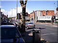
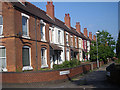
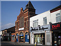
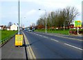
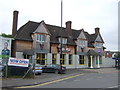
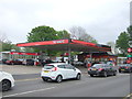
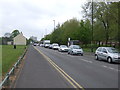
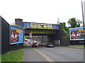
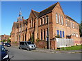
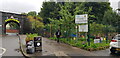
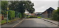
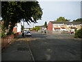
63 photos from this area
Area Information
Key information about the B12 8LZ including its size, population, and administrative classification.
- Area Type
- Postcode
- Area Size
- 1.3 hectares
- Population
- 1972
- Population Density
- 11179 people/km²
House Prices in B12 8LZ
38
Properties
£140,994
Average Sold Price
£48,000
Lowest Price
£295,000
Highest Price
Showing 38 properties
| Address | Type | Beds | Baths | Last Sale Price | Last Sale Date | |
|---|---|---|---|---|---|---|
| 165 St Pauls Road, Birmingham, B12 8LZ | house | - | - | £170,000 | Sep 2021 | |
| 169 St Pauls Road, Birmingham, B12 8LZ | house | - | - | £145,000 | Jul 2017 | |
| 150 St Pauls Road, Birmingham, B12 8LZ | Terraced | 3 | - | £157,500 | Apr 2016 | |
| 154 St Pauls Road, Birmingham, B12 8LZ | Terraced | 3 | - | £151,000 | Aug 2014 | |
| 166 St Pauls Road, Birmingham, B12 8LZ | house | - | - | £295,000 | Jul 2006 | |
| 170 St Pauls Road, Birmingham, B12 8LZ | house | - | - | £162,500 | Jan 2005 | |
| 157 St Pauls Road, Birmingham, B12 8LZ | house | - | - | £89,950 | Sep 2003 | |
| 158 St Pauls Road, Birmingham, B12 8LZ | house | - | - | £50,000 | Aug 1996 | |
| 145 St Pauls Road, Birmingham, B12 8LZ | house | - | - | £48,000 | Apr 1995 | |
| Flat 1, 146 St Pauls Road, Birmingham, B12 8LZ | Flat | - | - | - | - |
Page 1 of 4
Energy Efficiency in B12 8LZ
Amenities
Schools
| Rank | School | Type | Entry gender | Ages |
|---|
Explore more schools in this area
Go to Schools tabDemographics
Household Size
Family (3-5 people)
most common
Accommodation Type
Houses
most common
Tenure
45
majority
Ethnic Group
asian_total
most common
Religion
N/A
most common
Household Composition
N/A
most common
Age
22
median
Adults (30-64 years)
most common
Household Deprivation
N/A
with no deprivation
NS-SEC
12
in Lower managerial occupations
Explore more demographic insights in this area
Go to Demographics tabPlanning
Planning Constraints
- Flood RiskPremium
- Ramsar Wetland SitesPremium
- Area of Outstanding Natural BeautyPremium
- Protected Nature ReservePremium
- Protected WoodlandPremium