Area Overview for B12 8BS
Photos of B12 8BS
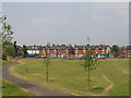
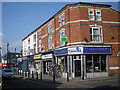
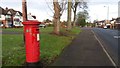
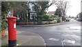
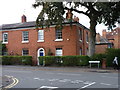
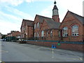
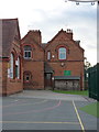
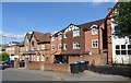
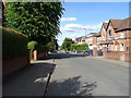
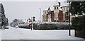
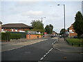
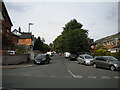
37 photos from this area
Area Information
Key information about the B12 8BS including its size, population, and administrative classification.
- Area Type
- Postcode
- Area Size
- 5896 m²
- Population
- 2748
- Population Density
- 12053 people/km²
House Prices in B12 8BS
27
Properties
£109,357
Average Sold Price
£21,000
Lowest Price
£178,000
Highest Price
Showing 27 properties
| Address | Type | Beds | Baths | Last Sale Price | Last Sale Date | |
|---|---|---|---|---|---|---|
| 28 Alder Road, Birmingham, B12 8BS | Terraced | 3 | 1 | £163,500 | Nov 2024 | |
| 26 Alder Road, Birmingham, B12 8BS | Terraced | 3 | 1 | £178,000 | Feb 2020 | |
| 22 Alder Road, Birmingham, B12 8BS | Terraced | 2 | - | £83,000 | Sep 2015 | |
| 20 Alder Road, Birmingham, B12 8BS | Terraced | 2 | 1 | £90,000 | Jan 2015 | |
| 16 Alder Road, Birmingham, B12 8BS | house | - | - | £131,000 | Jun 2005 | |
| 18 Alder Road, Birmingham, B12 8BS | Terraced | 2 | 1 | £99,000 | Aug 2003 | |
| 34 Alder Road, Birmingham, B12 8BS | house | - | - | £21,000 | Apr 1996 | |
| 21 Alder Road, Birmingham, B12 8BS | house | - | - | - | - | |
| 25 Alder Road, Birmingham, B12 8BS | house | - | - | - | - | |
| 27 Alder Road, Birmingham, B12 8BS | house | - | - | - | - |
Page 1 of 3
Energy Efficiency in B12 8BS
Amenities
Schools
| Rank | School | Type | Entry gender | Ages |
|---|
Explore more schools in this area
Go to Schools tabDemographics
Household Size
One person
most common
Accommodation Type
Houses
most common
Tenure
42
majority
Ethnic Group
asian_total
most common
Religion
N/A
most common
Household Composition
N/A
most common
Age
47
median
Adults (30-64 years)
most common
Household Deprivation
N/A
with no deprivation
NS-SEC
16
in Lower managerial occupations
Explore more demographic insights in this area
Go to Demographics tabPlanning
Planning Constraints
- Flood RiskPremium
- Ramsar Wetland SitesPremium
- Area of Outstanding Natural BeautyPremium
- Protected Nature ReservePremium
- Protected WoodlandPremium