Area Overview for B12 0NR
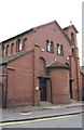
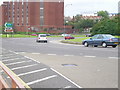
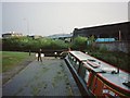
Photos of B12 0NR

Area Information
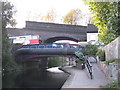
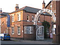
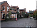
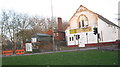
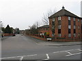
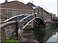
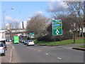
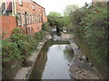
Living in B12 0NR places you in the heart of Birmingham’s historic Bordesley and Highgate ward, a compact postcode area with a population of 1,051. This small residential cluster lies just east of the city centre, bordering areas like Digbeth and Deritend, which have long been central to Birmingham’s industrial and cultural identity. The ward was established in 2017 as part of a council boundary review, merging parts of older suburbs into a modern administrative unit. Daily life here is shaped by proximity to Birmingham’s core, with easy access to rail and metro networks. The area’s character blends historic roots—such as the 18th-century Bordesley Hall, which was destroyed in the 1791 Priestley Riots—with contemporary infrastructure. Residents benefit from a mix of urban convenience and the legacy of 19th-century industrial development, including former manufacturing sites now repurposed or demolished. The community is small but connected, with amenities within practical reach, making it a compact, walkable environment for those prioritising central location over sprawling suburbia.
- Area Type
- Postcode
- Area Size
- Not available
- Population
- 1051
- Population Density
- 6044 people/km²
The property market in B12 0NR is characterised by a high proportion of rental properties, with only 18% of homes owned by residents. This suggests a market dominated by landlords and tenants rather than owner-occupiers. The accommodation type is predominantly flats, which is typical for smaller urban areas with limited space for larger housing stock. Given the postcode’s small size and the prevalence of flats, the housing stock is likely to be older, with limited scope for new development. For buyers, this presents challenges: the area’s compact nature means competition for available properties, and the rental focus may limit opportunities for long-term investment. Prospective buyers should also consider the area’s proximity to Birmingham’s transport hubs, which could be a draw for those seeking central living but may also contribute to higher demand for rental properties.
House Prices in B12 0NR
No properties found in this postcode.
Energy Efficiency in B12 0NR
Residents of B12 0NR have access to a range of nearby amenities, including retail outlets such as Spar City, Spar, and Tesco Birmingham, which provide everyday shopping needs. The area’s proximity to rail and metro stations—such as Bordesley Railway Station and Corporation Street—enhances its convenience for commuting and leisure. While the data does not specify parks or leisure facilities, the historical industrial character of the area suggests a focus on practicality over green spaces. The presence of multiple retail options and transport links contributes to a functional lifestyle, ideal for those prioritising accessibility over expansive recreational areas. The compact nature of the postcode means amenities are closely clustered, reducing travel time for daily errands and social activities.
Amenities
Schools
| Rank | School | Type | Entry gender | Ages |
|---|
Explore more schools in this area
Go to Schools tabDemographics
The population of B12 0NR is predominantly adults aged 30–64, with a median age of 47. This suggests a mature, established community with a focus on stability over younger demographics. Home ownership is low, with only 18% of residents owning their homes, indicating a rental-heavy market. The accommodation type is primarily flats, reflecting the area’s density and historical development as a suburb with limited single-family housing. The predominant ethnic group is White, though specific data on diversity beyond this is not provided. The low home ownership rate and age profile suggest a population of professionals, retirees, and long-term residents who may have moved to the area for its central location rather than for property investment. The absence of detailed deprivation data means the quality of life remains unquantified, but the demographic profile aligns with a community prioritising proximity to Birmingham’s core over suburban expansion.
Household Size
Accommodation Type
Tenure
Ethnic Group
Religion
Household Composition
Age
Household Deprivation
NS-SEC
Explore more demographic insights in this area
Go to Demographics tabPlanning
Planning Constraints
- Flood RiskPremium
- Ramsar Wetland SitesPremium
- Area of Outstanding Natural BeautyPremium
- Protected Nature ReservePremium
- Protected WoodlandPremium