Area Overview for B12 0ES
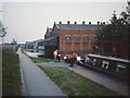
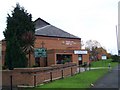
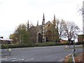
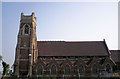
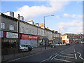
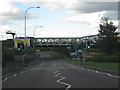
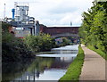
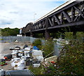
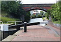
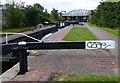
Photos of B12 0ES

Area Information
Living in B12 0ES means being part of a compact, urban postcode area in Birmingham’s Bordesley and Highgate ward. With a population of 1,655, this small residential cluster lies east of the city centre, encompassing historic areas like Digbeth and Deritend. The area’s character blends old and new, with roots tracing back to the 7th century and a modern identity shaped by post-2017 boundary changes. It sits within the Birmingham Ladywood parliamentary constituency, offering proximity to the city’s core while retaining distinct local features. Daily life here is defined by proximity to transport hubs, retail spots, and a mix of educational institutions. The area’s compact size means residents are within easy reach of Birmingham’s cultural and economic heart, though its small scale also means community dynamics are tightly knit. For those seeking a balance between urban convenience and historical context, B12 0ES presents a focused, accessible option.
- Area Type
- Postcode
- Area Size
- Not available
- Population
- 1655
- Population Density
- 4932 people/km²
The property market in B12 0ES is characterised by a low home ownership rate of 18%, which points to a rental-dominated landscape. The accommodation type is predominantly flats, reflecting a housing stock that caters to smaller households or those seeking short-term tenancies. This suggests limited availability of owner-occupied properties, making the area more suitable for renters than buyers. The small size of the postcode area means the housing market is tightly focused, with limited scope for expansion or development. For buyers, this could present challenges, as the area’s compact nature may restrict property choices. However, the prevalence of flats might appeal to those seeking affordable, manageable living spaces in a central location. Prospective buyers should consider the area’s rental-oriented dynamics when evaluating long-term investment potential.
House Prices in B12 0ES
No properties found in this postcode.
Energy Efficiency in B12 0ES
Daily life in B12 0ES is shaped by its proximity to retail, transport, and public spaces. The area’s nearby amenities include five rail stations, five retail outlets like Spar City and Iceland Birmingham, and five metro stops such as Corporation Street and Bull Street. These facilities provide easy access to shopping, dining, and public transport, supporting a lifestyle that balances convenience with urban connectivity. While the area is small, its density ensures that essential services are within walking distance. The presence of multiple retail spots and transport hubs suggests a community focused on accessibility and practicality. However, the lack of explicit references to parks or leisure facilities in the data means the area’s recreational offerings remain unexplored in this context.
Amenities
Schools
The schools near B12 0ES include St Anne’s Catholic Primary School, which has a good Ofsted rating, and Harper Bell Adventist School, an independent institution. Calthorpe School Sports College and Calthorpe Academy are special schools, catering to students with specific educational needs. However, Harper Bell Seventh-day Adventist School, a primary school, has an inadequate Ofsted rating, raising concerns about its quality. This mix of school types offers families options, from faith-based independent education to specialist provision for students with additional needs. The presence of a school with an inadequate rating, though, may be a drawback for parents prioritising high standards. Overall, the area provides a range of educational choices, but prospective residents should assess individual school performance before settling.
| Rank | School | Type | Entry gender | Ages |
|---|
Explore more schools in this area
Go to Schools tabDemographics
B12 0ES has a median age of 22, but the most common age range among residents is 30–64 years. This suggests a community skewed towards working-age adults, with a notable presence of older households. Home ownership is low at 18%, indicating that the majority of residents rent their homes. The accommodation type is predominantly flats, reflecting a housing stock suited to smaller households or those prioritising rental flexibility. The predominant ethnic group is Black_total, highlighting the area’s demographic diversity. While deprivation data is not provided, the low home ownership rate and flat-dominated housing suggest a reliance on rental markets and potentially higher vulnerability to housing cost pressures. The age profile also implies a workforce-centric community, with families and professionals coexisting in a compact urban setting.
Household Size
Accommodation Type
Tenure
Ethnic Group
Religion
Household Composition
Age
Household Deprivation
NS-SEC
Explore more demographic insights in this area
Go to Demographics tabPlanning
Planning Constraints
- Flood RiskPremium
- Ramsar Wetland SitesPremium
- Area of Outstanding Natural BeautyPremium
- Protected Nature ReservePremium
- Protected WoodlandPremium