Area Overview for B11 3HR
Photos of B11 3HR
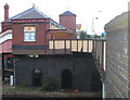
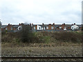
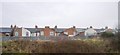
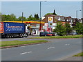
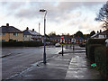
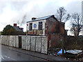
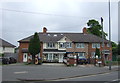
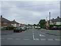
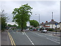
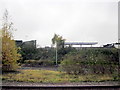
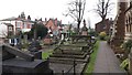
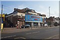
52 photos from this area
Area Information
Key information about the B11 3HR including its size, population, and administrative classification.
- Area Type
- Postcode
- Area Size
- 8812 m²
- Population
- 1567
- Population Density
- 6430 people/km²
House Prices in B11 3HR
36
Properties
£121,500
Average Sold Price
£73,000
Lowest Price
£191,000
Highest Price
Showing 36 properties
| Address | Type | Beds | Baths | Last Sale Price | Last Sale Date | |
|---|---|---|---|---|---|---|
| 92 Wetherfield Road, Birmingham, B11 3HR | Terraced | 2 | 1 | £191,000 | Jul 2025 | |
| 102 Wetherfield Road, Birmingham, B11 3HR | house | - | - | £172,500 | Oct 2021 | |
| 100 Wetherfield Road, Birmingham, B11 3HR | house | - | - | £157,000 | Nov 2020 | |
| 86 Wetherfield Road, Birmingham, B11 3HR | Terraced | 3 | 1 | £130,000 | Sep 2017 | |
| 85 Wetherfield Road, Birmingham, B11 3HR | Terraced | 2 | - | £89,000 | Nov 2013 | |
| 82 Wetherfield Road, Birmingham, B11 3HR | house | - | - | £91,000 | Nov 2009 | |
| 68 Wetherfield Road, Birmingham, B11 3HR | Terraced | 3 | 1 | £117,500 | Feb 2007 | |
| 96 Wetherfield Road, Birmingham, B11 3HR | Terraced | - | - | £96,500 | Jul 2006 | |
| 70 Wetherfield Road, Birmingham, B11 3HR | Terraced | - | - | £97,500 | Dec 2005 | |
| 91 Wetherfield Road, Birmingham, B11 3HR | Semi-detached | 3 | 1 | £73,000 | Feb 2003 |
Page 1 of 4
Energy Efficiency in B11 3HR
Amenities
Schools
| Rank | School | Type | Entry gender | Ages |
|---|
Explore more schools in this area
Go to Schools tabDemographics
Household Size
Family (3-5 people)
most common
Accommodation Type
Houses
most common
Tenure
60
majority
Ethnic Group
asian_total
most common
Religion
N/A
most common
Household Composition
N/A
most common
Age
47
median
Adults (30-64 years)
most common
Household Deprivation
N/A
with no deprivation
NS-SEC
17
in Lower managerial occupations
Explore more demographic insights in this area
Go to Demographics tabPlanning
Planning Constraints
- Flood RiskPremium
- Ramsar Wetland SitesPremium
- Area of Outstanding Natural BeautyPremium
- Protected Nature ReservePremium
- Protected WoodlandPremium