Area Overview for B11 3EE
Photos of B11 3EE
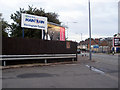
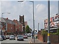
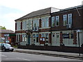
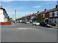
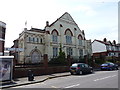
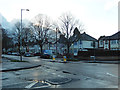
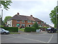
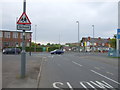
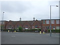
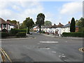
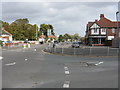
18 photos from this area
Area Information
Key information about the B11 3EE including its size, population, and administrative classification.
- Area Type
- Postcode
- Area Size
- 9372 m²
- Population
- 2612
- Population Density
- 7077 people/km²
House Prices in B11 3EE
36
Properties
£129,800
Average Sold Price
£55,000
Lowest Price
£200,000
Highest Price
Showing 36 properties
| Address | Type | Beds | Baths | Last Sale Price | Last Sale Date | |
|---|---|---|---|---|---|---|
| 61 Allcroft Road, Birmingham, B11 3EE | Terraced | 3 | 1 | £200,000 | Jun 2023 | |
| 59 Allcroft Road, Birmingham, B11 3EE | Terraced | 3 | 1 | £143,000 | Jun 2020 | |
| 53 Allcroft Road, Birmingham, B11 3EE | Terraced | 3 | 1 | £167,000 | Sep 2019 | |
| 57 Allcroft Road, Birmingham, B11 3EE | Terraced | 3 | 1 | £182,000 | Feb 2019 | |
| 41 Allcroft Road, Birmingham, B11 3EE | Terraced | 3 | 2 | £130,500 | Feb 2014 | |
| 43 Allcroft Road, Birmingham, B11 3EE | house | 3 | - | £113,000 | Apr 2012 | |
| 55 Allcroft Road, Birmingham, B11 3EE | Terraced | 3 | 2 | £134,000 | Sep 2008 | |
| 65 Allcroft Road, Birmingham, B11 3EE | Terraced | - | - | £115,500 | Dec 2006 | |
| 21 Allcroft Road, Birmingham, B11 3EE | Semi-detached | - | - | £55,000 | Feb 2002 | |
| 37 Allcroft Road, Birmingham, B11 3EE | house | - | - | £58,000 | Oct 2001 |
Page 1 of 4
Energy Efficiency in B11 3EE
Amenities
Schools
| Rank | School | Type | Entry gender | Ages |
|---|
Explore more schools in this area
Go to Schools tabDemographics
Household Size
Family (3-5 people)
most common
Accommodation Type
Houses
most common
Tenure
56
majority
Ethnic Group
asian_total
most common
Religion
N/A
most common
Household Composition
N/A
most common
Age
22
median
Adults (30-64 years)
most common
Household Deprivation
N/A
with no deprivation
NS-SEC
18
in Lower managerial occupations
Explore more demographic insights in this area
Go to Demographics tabPlanning
Planning Constraints
- Flood RiskPremium
- Ramsar Wetland SitesPremium
- Area of Outstanding Natural BeautyPremium
- Protected Nature ReservePremium
- Protected WoodlandPremium