Area Overview for B11 3DE
Photos of B11 3DE
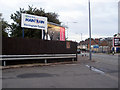
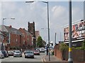
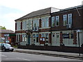
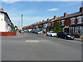
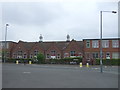
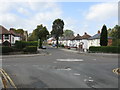
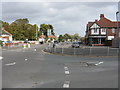
18 photos from this area
Area Information
Key information about the B11 3DE including its size, population, and administrative classification.
- Area Type
- Postcode
- Area Size
- 8541 m²
- Population
- 2612
- Population Density
- 7077 people/km²
House Prices in B11 3DE
32
Properties
£168,673
Average Sold Price
£13,950
Lowest Price
£270,000
Highest Price
Showing 32 properties
| Address | Type | Beds | Baths | Last Sale Price | Last Sale Date | |
|---|---|---|---|---|---|---|
| 389 Reddings Lane, Springfield, Birmingham, B11 3DE | house | 3 | 1 | £200,000 | Aug 2025 | |
| 415 Reddings Lane, Springfield, Birmingham, B11 3DE | Semi-detached | 3 | 1 | £270,000 | Oct 2022 | |
| 419 Reddings Lane, Springfield, Birmingham, B11 3DE | house | - | - | £205,000 | Oct 2022 | |
| 421 Reddings Lane, Springfield, Birmingham, B11 3DE | Terraced | - | - | £13,950 | Feb 2022 | |
| 407 Reddings Lane, Springfield, Birmingham, B11 3DE | house | - | - | £220,000 | Oct 2021 | |
| 411 Reddings Lane, Springfield, Birmingham, B11 3DE | house | - | - | £170,000 | Dec 2020 | |
| 395 Reddings Lane, Springfield, Birmingham, B11 3DE | Semi-detached | 3 | 1 | £212,500 | May 2019 | |
| 425 Reddings Lane, Springfield, Birmingham, B11 3DE | Terraced | 3 | 1 | £186,500 | May 2018 | |
| 383 Reddings Lane, Springfield, Birmingham, B11 3DE | Semi-detached | 6 | 1 | £65,000 | Dec 2017 | |
| 393 Reddings Lane, Springfield, Birmingham, B11 3DE | house | - | - | £200,000 | May 2017 |
Page 1 of 4
Energy Efficiency in B11 3DE
Amenities
Schools
| Rank | School | Type | Entry gender | Ages |
|---|
Explore more schools in this area
Go to Schools tabDemographics
Household Size
Family (3-5 people)
most common
Accommodation Type
Houses
most common
Tenure
56
majority
Ethnic Group
asian_total
most common
Religion
N/A
most common
Household Composition
N/A
most common
Age
22
median
Adults (30-64 years)
most common
Household Deprivation
N/A
with no deprivation
NS-SEC
18
in Lower managerial occupations
Explore more demographic insights in this area
Go to Demographics tabPlanning
Planning Constraints
- Flood RiskPremium
- Ramsar Wetland SitesPremium
- Area of Outstanding Natural BeautyPremium
- Protected Nature ReservePremium
- Protected WoodlandPremium