Area Overview for B10 9PL
Photos of B10 9PL
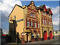
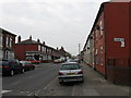
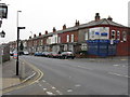
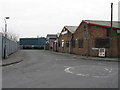
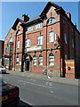
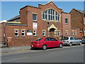
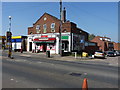
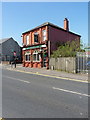
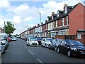
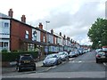
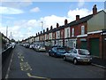
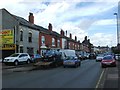
57 photos from this area
Area Information
Key information about the B10 9PL including its size, population, and administrative classification.
- Area Type
- Postcode
- Area Size
- 6258 m²
- Population
- 3378
- Population Density
- 14134 people/km²
House Prices in B10 9PL
33
Properties
£116,379
Average Sold Price
£31,000
Lowest Price
£180,000
Highest Price
Showing 33 properties
| Address | Type | Beds | Baths | Last Sale Price | Last Sale Date | |
|---|---|---|---|---|---|---|
| 245 Bankes Road, Birmingham, B10 9PL | house | - | - | £150,000 | Mar 2023 | |
| 209 Bankes Road, Birmingham, B10 9PL | Terraced | - | - | £172,000 | Feb 2023 | |
| 239 Bankes Road, Birmingham, B10 9PL | house | - | - | £180,000 | Apr 2022 | |
| 251 Bankes Road, Birmingham, B10 9PL | house | 2 | - | £140,000 | Oct 2021 | |
| 217 Bankes Road, Birmingham, B10 9PL | Terraced | 3 | 1 | £154,000 | Feb 2019 | |
| 219 Bankes Road, Birmingham, B10 9PL | house | - | - | £130,000 | Apr 2018 | |
| 199 Bankes Road, Birmingham, B10 9PL | house | - | - | £110,000 | Feb 2018 | |
| 203 Bankes Road, Birmingham, B10 9PL | Terraced | 3 | 1 | £140,000 | Sep 2015 | |
| 201 Bankes Road, Birmingham, B10 9PL | house | 3 | 1 | £112,000 | Mar 2015 | |
| 221 Bankes Road, Birmingham, B10 9PL | house | - | - | £145,000 | Jan 2013 |
Page 1 of 4
Energy Efficiency in B10 9PL
Amenities
Schools
| Rank | School | Type | Entry gender | Ages |
|---|
Explore more schools in this area
Go to Schools tabDemographics
Household Size
Family (3-5 people)
most common
Accommodation Type
Houses
most common
Tenure
57
majority
Ethnic Group
asian_total
most common
Religion
N/A
most common
Household Composition
N/A
most common
Age
22
median
Adults (30-64 years)
most common
Household Deprivation
N/A
with no deprivation
NS-SEC
11
in Lower managerial occupations
Explore more demographic insights in this area
Go to Demographics tabPlanning
Planning Constraints
- Flood RiskPremium
- Ramsar Wetland SitesPremium
- Area of Outstanding Natural BeautyPremium
- Protected Nature ReservePremium
- Protected WoodlandPremium