Area Overview for B10 9NY
Photos of B10 9NY
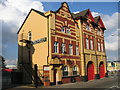
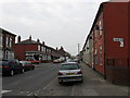
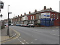
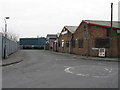
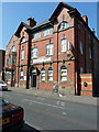
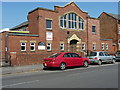
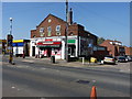
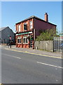
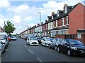
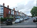
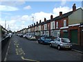
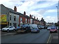
57 photos from this area
Area Information
Key information about the B10 9NY including its size, population, and administrative classification.
- Area Type
- Postcode
- Area Size
- 1.2 hectares
- Population
- 2437
- Population Density
- 14489 people/km²
House Prices in B10 9NY
32
Properties
£113,607
Average Sold Price
£16,000
Lowest Price
£185,000
Highest Price
Showing 32 properties
| Address | Type | Beds | Baths | Last Sale Price | Last Sale Date | |
|---|---|---|---|---|---|---|
| 17 Marlborough Road, Birmingham, B10 9NY | house | - | - | £77,000 | Apr 2024 | |
| 13 Marlborough Road, Birmingham, B10 9NY | house | - | - | £185,000 | Mar 2021 | |
| 11 Marlborough Road, Birmingham, B10 9NY | house | - | - | £170,000 | Oct 2020 | |
| 15 Marlborough Road, Birmingham, B10 9NY | house | 3 | 1 | £140,000 | Jun 2016 | |
| 29 Marlborough Road, Birmingham, B10 9NY | Terraced | 3 | - | £125,000 | Dec 2013 | |
| 33 Marlborough Road, Birmingham, B10 9NY | Terraced | 3 | 1 | £120,000 | May 2013 | |
| 31 Marlborough Road, Birmingham, B10 9NY | house | - | - | £140,000 | Jan 2012 | |
| 9 Marlborough Road, Birmingham, B10 9NY | Terraced | - | - | £163,000 | Sep 2007 | |
| 8 Marlborough Road, Birmingham, B10 9NY | house | - | - | £125,000 | Dec 2004 | |
| 43 Marlborough Road, Birmingham, B10 9NY | house | - | - | £100,000 | Jul 2003 |
Page 1 of 4
Energy Efficiency in B10 9NY
Amenities
Schools
| Rank | School | Type | Entry gender | Ages |
|---|
Explore more schools in this area
Go to Schools tabDemographics
Household Size
Family (3-5 people)
most common
Accommodation Type
Houses
most common
Tenure
63
majority
Ethnic Group
asian_total
most common
Religion
N/A
most common
Household Composition
N/A
most common
Age
22
median
Adults (30-64 years)
most common
Household Deprivation
N/A
with no deprivation
NS-SEC
10
in Lower managerial occupations
Explore more demographic insights in this area
Go to Demographics tabPlanning
Planning Constraints
- Flood RiskPremium
- Ramsar Wetland SitesPremium
- Area of Outstanding Natural BeautyPremium
- Protected Nature ReservePremium
- Protected WoodlandPremium