Area Overview for B10 9JS
Photos of B10 9JS


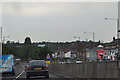
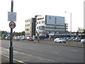
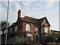
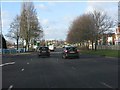

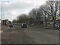
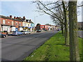
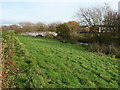
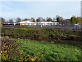
14 photos from this area
Area Information
Key information about the B10 9JS including its size, population, and administrative classification.
- Area Type
- Postcode
- Area Size
- 1.5 hectares
- Population
- 2110
- Population Density
- 4316 people/km²
House Prices in B10 9JS
41
Properties
£109,326
Average Sold Price
£38,500
Lowest Price
£190,000
Highest Price
Showing 41 properties
| Address | Type | Beds | Baths | Last Sale Price | Last Sale Date | |
|---|---|---|---|---|---|---|
| 159 Fosbrooke Road, Birmingham, B10 9JS | Terraced | 3 | 1 | £190,000 | Aug 2022 | |
| 165 Fosbrooke Road, Birmingham, B10 9JS | house | - | - | £130,000 | Dec 2021 | |
| 177 Fosbrooke Road, Birmingham, B10 9JS | house | - | - | £105,000 | Dec 2019 | |
| 131 Fosbrooke Road, Birmingham, B10 9JS | house | 3 | 1 | £160,000 | Nov 2019 | |
| 99 Fosbrooke Road, Birmingham, B10 9JS | house | 3 | 1 | £142,000 | Jul 2019 | |
| 149 Fosbrooke Road, Birmingham, B10 9JS | Terraced | 3 | 1 | £122,000 | May 2017 | |
| 163 Fosbrooke Road, Birmingham, B10 9JS | Terraced | - | - | £115,000 | Feb 2010 | |
| 167 Fosbrooke Road, Birmingham, B10 9JS | house | - | - | £100,000 | May 2009 | |
| 119 Fosbrooke Road, Birmingham, B10 9JS | house | - | - | £100,000 | Jun 2008 | |
| 161 Fosbrooke Road, Birmingham, B10 9JS | house | - | - | £138,000 | Sep 2007 |
Page 1 of 5
Energy Efficiency in B10 9JS
Amenities
Schools
| Rank | School | Type | Entry gender | Ages |
|---|
Explore more schools in this area
Go to Schools tabDemographics
Household Size
Family (3-5 people)
most common
Accommodation Type
Houses
most common
Tenure
58
majority
Ethnic Group
asian_total
most common
Religion
N/A
most common
Household Composition
N/A
most common
Age
22
median
Adults (30-64 years)
most common
Household Deprivation
N/A
with no deprivation
NS-SEC
13
in Lower managerial occupations
Explore more demographic insights in this area
Go to Demographics tabPlanning
Planning Constraints
- Flood RiskPremium
- Ramsar Wetland SitesPremium
- Area of Outstanding Natural BeautyPremium
- Protected Nature ReservePremium
- Protected WoodlandPremium