Area Overview for B10 9DS
Photos of B10 9DS
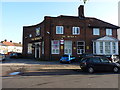
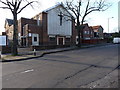
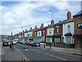
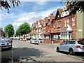
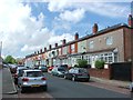
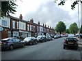
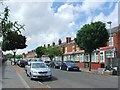
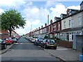
24 photos from this area
Area Information
Key information about the B10 9DS including its size, population, and administrative classification.
- Area Type
- Postcode
- Area Size
- 1.1 hectares
- Population
- 1981
- Population Density
- 9146 people/km²
House Prices in B10 9DS
50
Properties
£102,878
Average Sold Price
£25,000
Lowest Price
£185,000
Highest Price
Showing 50 properties
| Address | Type | Beds | Baths | Last Sale Price | Last Sale Date | |
|---|---|---|---|---|---|---|
| 185 St Benedicts Road, Birmingham, B10 9DS | Terraced | 3 | 1 | £150,000 | Apr 2024 | |
| 111 St Benedicts Road, Birmingham, B10 9DS | house | - | - | £175,000 | Mar 2024 | |
| 107 St Benedicts Road, Birmingham, B10 9DS | house | - | - | £75,000 | Jul 2023 | |
| 115 St Benedicts Road, Birmingham, B10 9DS | Terraced | 3 | 1 | £185,000 | Apr 2023 | |
| 129 St Benedicts Road, Birmingham, B10 9DS | house | - | - | £155,000 | Mar 2021 | |
| 135 St Benedicts Road, Birmingham, B10 9DS | house | - | - | £82,400 | Dec 2020 | |
| 141 St Benedicts Road, Birmingham, B10 9DS | Terraced | 3 | 1 | £172,000 | May 2019 | |
| 193 St Benedicts Road, Birmingham, B10 9DS | Terraced | 3 | 2 | £170,000 | Apr 2019 | |
| 171 St Benedicts Road, Birmingham, B10 9DS | house | - | - | £120,000 | Feb 2019 | |
| 131 St Benedicts Road, Birmingham, B10 9DS | house | - | - | £106,000 | Nov 2016 |
Page 1 of 5
Energy Efficiency in B10 9DS
Amenities
Schools
| Rank | School | Type | Entry gender | Ages |
|---|
Explore more schools in this area
Go to Schools tabDemographics
Household Size
Family (3-5 people)
most common
Accommodation Type
Houses
most common
Tenure
65
majority
Ethnic Group
asian_total
most common
Religion
N/A
most common
Household Composition
N/A
most common
Age
22
median
Adults (30-64 years)
most common
Household Deprivation
N/A
with no deprivation
NS-SEC
11
in Lower managerial occupations
Explore more demographic insights in this area
Go to Demographics tabPlanning
Planning Constraints
- Flood RiskPremium
- Ramsar Wetland SitesPremium
- Area of Outstanding Natural BeautyPremium
- Protected Nature ReservePremium
- Protected WoodlandPremium