Area Overview for B10 0DE
Photos of B10 0DE
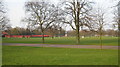
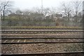
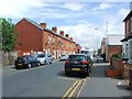
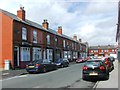
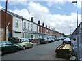
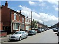
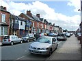
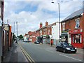
67 photos from this area
Area Information
Key information about the B10 0DE including its size, population, and administrative classification.
- Area Type
- Postcode
- Area Size
- 2.4 hectares
- Population
- 1779
- Population Density
- 3006 people/km²
House Prices in B10 0DE
49
Properties
£126,308
Average Sold Price
£16,170
Lowest Price
£200,000
Highest Price
Showing 49 properties
| Address | Type | Beds | Baths | Last Sale Price | Last Sale Date | |
|---|---|---|---|---|---|---|
| 55 Vann Close, Birmingham, B10 0DE | Terraced | 3 | 2 | £200,000 | Nov 2023 | |
| 41 Vann Close, Birmingham, B10 0DE | house | - | - | £198,000 | Jun 2021 | |
| 32 Vann Close, Birmingham, B10 0DE | Terraced | 3 | 1 | £160,000 | Mar 2021 | |
| 43 Vann Close, Birmingham, B10 0DE | Terraced | 4 | 1 | £180,000 | Dec 2018 | |
| 61 Vann Close, Birmingham, B10 0DE | Flat | - | - | £73,000 | Nov 2018 | |
| 17 Vann Close, Birmingham, B10 0DE | Terraced | 3 | 1 | £140,000 | Feb 2017 | |
| 15 Vann Close, Birmingham, B10 0DE | house | - | - | £115,000 | Oct 2009 | |
| 52 Vann Close, Birmingham, B10 0DE | house | - | - | £125,000 | Mar 2008 | |
| 47 Vann Close, Birmingham, B10 0DE | Terraced | - | - | £139,000 | Dec 2006 | |
| 10 Vann Close, Birmingham, B10 0DE | house | - | - | £110,000 | May 2006 |
Page 1 of 5
Energy Efficiency in B10 0DE
Amenities
Schools
| Rank | School | Type | Entry gender | Ages |
|---|
Explore more schools in this area
Go to Schools tabDemographics
Household Size
One person
most common
Accommodation Type
Houses
most common
Tenure
39
majority
Ethnic Group
asian_total
most common
Religion
N/A
most common
Household Composition
N/A
most common
Age
22
median
Adults (30-64 years)
most common
Household Deprivation
N/A
with no deprivation
NS-SEC
11
in Lower managerial occupations
Explore more demographic insights in this area
Go to Demographics tabPlanning
Planning Constraints
- Flood RiskPremium
- Ramsar Wetland SitesPremium
- Area of Outstanding Natural BeautyPremium
- Protected Nature ReservePremium
- Protected WoodlandPremium