Area Overview for TR26 1ER
Photos of TR26 1ER
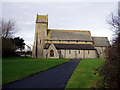
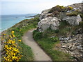
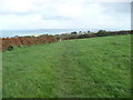
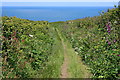
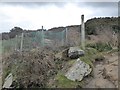
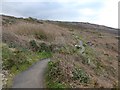
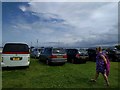
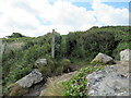
45 photos from this area
Area Information
Key information about the TR26 1ER including its size, population, and administrative classification.
- Area Type
- Postcode
- Area Size
- 3.5 hectares
- Population
- 1186
- Population Density
- 2702 people/km²
House Prices in TR26 1ER
42
Properties
£269,515
Average Sold Price
£59,950
Lowest Price
£580,000
Highest Price
Showing 42 properties
| Address | Type | Beds | Baths | Last Sale Price | Last Sale Date | |
|---|---|---|---|---|---|---|
| 41 Alexandra Road, St Ives, TR26 1ER | Semi-detached | 3 | 1 | £440,000 | Nov 2024 | |
| Chy Kervis, Alexandra Road, St Ives, TR26 1ER | Bungalow | 3 | 1 | £370,000 | Sep 2023 | |
| 40 Alexandra Road, St Ives, TR26 1ER | Semi-detached | 3 | 1 | £400,000 | Apr 2023 | |
| Chy An Bay Wedhen, Alexandra Road, St Ives, TR26 1ER | Bungalow | 4 | - | £580,000 | Mar 2022 | |
| Crest Mont, Alexandra Road, St Ives, TR26 1ER | house | - | - | £370,000 | Sep 2021 | |
| Fernleigh, Alexandra Road, St Ives, TR26 1ER | Detached | 3 | 1 | £425,000 | Mar 2019 | |
| 31 Alexandra Road, St Ives, TR26 1ER | Terraced | 4 | 1 | £359,950 | Aug 2018 | |
| Tresillian, Alexandra Road, St Ives, TR26 1ER | Detached | 4 | 3 | £429,990 | Mar 2018 | |
| The Cottage, Alexandra Road, St Ives, TR26 1ER | house | - | - | £217,500 | Oct 2015 | |
| Goonbell, Alexandra Road, St Ives, TR26 1ER | Detached | 3 | - | £305,000 | Sep 2015 |
Page 1 of 5
Energy Efficiency in TR26 1ER
Amenities
Schools
| Rank | School | Type | Entry gender | Ages |
|---|
Explore more schools in this area
Go to Schools tabDemographics
Household Size
Two person
most common
Accommodation Type
Houses
most common
Tenure
77
majority
Ethnic Group
White
most common
Religion
N/A
most common
Household Composition
N/A
most common
Age
47
median
Adults (30-64 years)
most common
Household Deprivation
N/A
with no deprivation
NS-SEC
28
in Lower managerial occupations
Explore more demographic insights in this area
Go to Demographics tabPlanning
Planning Constraints
- Flood RiskPremium
- Ramsar Wetland SitesPremium
- Area of Outstanding Natural BeautyPremium
- Protected Nature ReservePremium
- Protected WoodlandPremium