Area Overview for TR20 9NJ
Photos of TR20 9NJ
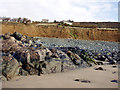
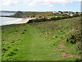
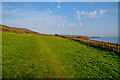
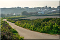
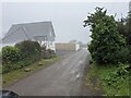
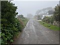
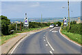
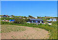
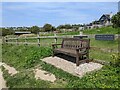
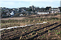
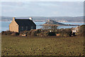
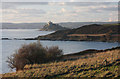
30 photos from this area
Area Information
Key information about the TR20 9NJ including its size, population, and administrative classification.
- Area Type
- Postcode
- Area Size
- 3.9 hectares
- Population
- 1846
- Population Density
- 327 people/km²
House Prices in TR20 9NJ
8
Properties
£407,483
Average Sold Price
£249,950
Lowest Price
£725,000
Highest Price
Showing 8 properties
| Address | Type | Beds | Baths | Last Sale Price | Last Sale Date | |
|---|---|---|---|---|---|---|
| 2 St Pirans Way, Perranuthnoe, TR20 9NJ | Detached | 4 | 3 | £249,950 | Jun 2018 | |
| 3 St Pirans Way, Perranuthnoe, TR20 9NJ | house | 4 | 1 | £396,000 | Mar 2011 | |
| Parc An Drea, St Pirans Way, Perranuthnoe, TR20 9NJ | Bungalow | 4 | - | £725,000 | Aug 2010 | |
| 1 St Pirans Way, Perranuthnoe, TR20 9NJ | Detached | - | - | £385,000 | Apr 2010 | |
| 4 St Pirans Way, Perranuthnoe, TR20 9NJ | Detached | 4 | 3 | £389,000 | Oct 2006 | |
| Sanderlings, 5 St Pirans Way, Perranuthnoe, TR20 9NJ | Detached | - | - | £299,950 | Apr 2003 | |
| The Annexe, 2 St Pirans Way, Perranuthnoe, TR20 9NJ | Detached | - | - | - | - | |
| Illawarra, St Pirans Way, Perranuthnoe, TR20 9NJ | Detached | - | - | - | - |
Energy Efficiency in TR20 9NJ
Amenities
Schools
| Rank | School | Type | Entry gender | Ages |
|---|
Explore more schools in this area
Go to Schools tabDemographics
Household Size
Two person
most common
Accommodation Type
Houses
most common
Tenure
60
majority
Ethnic Group
White
most common
Religion
N/A
most common
Household Composition
N/A
most common
Age
47
median
Adults (30-64 years)
most common
Household Deprivation
N/A
with no deprivation
NS-SEC
30
in Lower managerial occupations
Explore more demographic insights in this area
Go to Demographics tabPlanning
Planning Constraints
- Flood RiskPremium
- Ramsar Wetland SitesPremium
- Area of Outstanding Natural BeautyPremium
- Protected Nature ReservePremium
- Protected WoodlandPremium