Area Overview for TR15 2EG
Photos of TR15 2EG
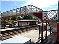
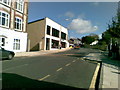
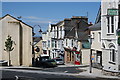
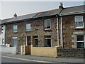
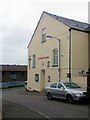
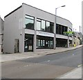
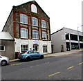
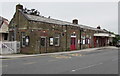
86 photos from this area
Area Information
Key information about the TR15 2EG including its size, population, and administrative classification.
- Area Type
- Postcode
- Area Size
- 8351 m²
- Population
- 1905
- Population Density
- 5435 people/km²
House Prices in TR15 2EG
23
Properties
£109,750
Average Sold Price
£24,950
Lowest Price
£219,950
Highest Price
Showing 23 properties
| Address | Type | Beds | Baths | Last Sale Price | Last Sale Date | |
|---|---|---|---|---|---|---|
| 8 Wesley Street, Redruth, TR15 2EG | Terraced | 3 | 1 | £82,500 | Jun 2025 | |
| 21 Wesley Street, Redruth, TR15 2EG | Terraced | 4 | 2 | £219,950 | Feb 2025 | |
| 5 Wesley Street, Redruth, TR15 2EG | Terraced | 1 | 1 | £151,500 | Jan 2023 | |
| 11 Wesley Street, Redruth, TR15 2EG | Terraced | 2 | 1 | £175,000 | Oct 2022 | |
| Little Nancothan, Wesley Street, Redruth, TR15 2EG | Bungalow | 2 | - | £125,000 | Jul 2022 | |
| 8A Wesley Street, Redruth, TR15 2EG | Detached | 2 | 1 | £200,000 | May 2021 | |
| 6 Wesley Street, Redruth, TR15 2EG | house | 2 | - | £61,100 | Jun 2012 | |
| 20 Wesley Street, Redruth, TR15 2EG | Terraced | - | - | £118,000 | Jun 2006 | |
| 10 Wesley Street, Redruth, TR15 2EG | house | - | - | £84,500 | Mar 2003 | |
| White Haven, Wesley Street, Redruth, TR15 2EG | Bungalow | 2 | 1 | £45,000 | Nov 2000 |
Page 1 of 3
Energy Efficiency in TR15 2EG
Amenities
Schools
| Rank | School | Type | Entry gender | Ages |
|---|
Explore more schools in this area
Go to Schools tabDemographics
Household Size
One person
most common
Accommodation Type
Houses
most common
Tenure
54
majority
Ethnic Group
White
most common
Religion
N/A
most common
Household Composition
N/A
most common
Age
47
median
Adults (30-64 years)
most common
Household Deprivation
N/A
with no deprivation
NS-SEC
26
in Lower managerial occupations
Explore more demographic insights in this area
Go to Demographics tabPlanning
Planning Constraints
- Flood RiskPremium
- Ramsar Wetland SitesPremium
- Area of Outstanding Natural BeautyPremium
- Protected Nature ReservePremium
- Protected WoodlandPremium