Area Overview for TR15 2ET
Photos of TR15 2ET
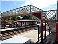
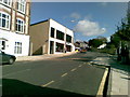
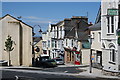
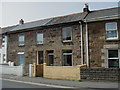
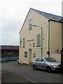
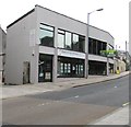
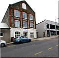
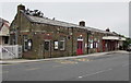
86 photos from this area
Area Information
Key information about the TR15 2ET including its size, population, and administrative classification.
- Area Type
- Postcode
- Area Size
- 1.2 hectares
- Population
- 1965
- Population Density
- 1010 people/km²
House Prices in TR15 2ET
36
Properties
£96,820
Average Sold Price
£14,500
Lowest Price
£209,000
Highest Price
Showing 36 properties
| Address | Type | Beds | Baths | Last Sale Price | Last Sale Date | |
|---|---|---|---|---|---|---|
| 10 St Day Road, Redruth, TR15 2ET | Terraced | 5 | 2 | £209,000 | Apr 2024 | |
| 18 St Day Road, Redruth, TR15 2ET | Terraced | 2 | 1 | £105,000 | Aug 2022 | |
| 38 St Day Road, Redruth, TR15 2ET | Terraced | 1 | - | £139,950 | Dec 2021 | |
| 5 St Day Road, Redruth, TR15 2ET | Terraced | 2 | 1 | £122,000 | Oct 2020 | |
| 39 St Day Road, Redruth, TR15 2ET | Terraced | - | - | £150,000 | Nov 2018 | |
| 6 St Day Road, Redruth, TR15 2ET | Terraced | 3 | 1 | £165,000 | Aug 2018 | |
| 26 St Day Road, Redruth, TR15 2ET | Terraced | 3 | - | £145,000 | Dec 2016 | |
| 36 St Day Road, Redruth, TR15 2ET | Semi-detached | 3 | 1 | £161,000 | Apr 2016 | |
| 22 St Day Road, Redruth, TR15 2ET | Terraced | 3 | - | £84,200 | Dec 2015 | |
| 8 St Day Road, Redruth, TR15 2ET | Terraced | - | - | £78,000 | Nov 2007 |
Page 1 of 4
Energy Efficiency in TR15 2ET
Amenities
Schools
| Rank | School | Type | Entry gender | Ages |
|---|
Explore more schools in this area
Go to Schools tabDemographics
Household Size
Family (3-5 people)
most common
Accommodation Type
Houses
most common
Tenure
81
majority
Ethnic Group
White
most common
Religion
N/A
most common
Household Composition
N/A
most common
Age
47
median
Adults (30-64 years)
most common
Household Deprivation
N/A
with no deprivation
NS-SEC
31
in Lower managerial occupations
Explore more demographic insights in this area
Go to Demographics tabPlanning
Planning Constraints
- Flood RiskPremium
- Ramsar Wetland SitesPremium
- Area of Outstanding Natural BeautyPremium
- Protected Nature ReservePremium
- Protected WoodlandPremium