Area Overview for TR14 8BY
Photos of TR14 8BY
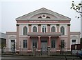
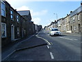
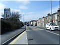
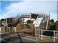
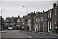
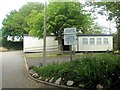
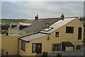
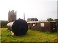
49 photos from this area
Area Information
Key information about the TR14 8BY including its size, population, and administrative classification.
- Area Type
- Postcode
- Area Size
- 2996 m²
- Population
- 1667
- Population Density
- 3356 people/km²
House Prices in TR14 8BY
9
Properties
£148,883
Average Sold Price
£62,000
Lowest Price
£263,000
Highest Price
Showing 9 properties
| Address | Type | Beds | Baths | Last Sale Price | Last Sale Date | |
|---|---|---|---|---|---|---|
| 103 Roskear Road, Camborne, TR14 8BY | Terraced | 3 | 2 | £263,000 | May 2025 | |
| 97 Roskear Road, Camborne, TR14 8BY | Terraced | 3 | 1 | £230,000 | Jul 2023 | |
| 111 Roskear Road, Camborne, TR14 8BY | Terraced | 3 | 1 | £147,000 | Mar 2018 | |
| 105 Roskear Road, Camborne, TR14 8BY | Terraced | 3 | 1 | £154,000 | Aug 2017 | |
| 109 Roskear Road, Camborne, TR14 8BY | Terraced | - | - | £165,000 | Oct 2007 | |
| 101 Roskear Road, Camborne, TR14 8BY | house | - | - | £135,000 | Oct 2006 | |
| 107 Roskear Road, Camborne, TR14 8BY | house | 2 | - | £100,000 | Mar 2005 | |
| 99 Roskear Road, Camborne, TR14 8BY | Terraced | 3 | 1 | £83,950 | Aug 2003 | |
| 113 Roskear Road, Camborne, TR14 8BY | Terraced | 4 | 1 | £62,000 | Nov 2001 |
Energy Efficiency in TR14 8BY
Amenities
Schools
| Rank | School | Type | Entry gender | Ages |
|---|
Explore more schools in this area
Go to Schools tabDemographics
Household Size
Two person
most common
Accommodation Type
Houses
most common
Tenure
53
majority
Ethnic Group
White
most common
Religion
N/A
most common
Household Composition
N/A
most common
Age
47
median
Adults (30-64 years)
most common
Household Deprivation
N/A
with no deprivation
NS-SEC
21
in Lower managerial occupations
Explore more demographic insights in this area
Go to Demographics tabPlanning
Planning Constraints
- Flood RiskPremium
- Ramsar Wetland SitesPremium
- Area of Outstanding Natural BeautyPremium
- Protected Nature ReservePremium
- Protected WoodlandPremium