Area Overview for TR10 8JS
Photos of TR10 8JS
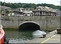
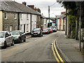
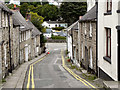
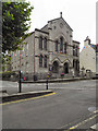
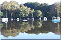
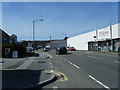
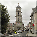
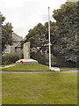
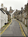
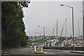
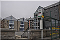
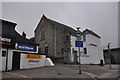
100 photos from this area
Area Information
Key information about the TR10 8JS including its size, population, and administrative classification.
- Area Type
- Postcode
- Area Size
- 4292 m²
- Population
- 2554
- Population Density
- 1525 people/km²
House Prices in TR10 8JS
6
Properties
£223,750
Average Sold Price
£73,500
Lowest Price
£340,000
Highest Price
Showing 6 properties
| Address | Type | Beds | Baths | Last Sale Price | Last Sale Date | |
|---|---|---|---|---|---|---|
| 1, College Ope, St Thomas Street, Penryn, TR10 8JS | Cottage | 4 | 2 | £340,000 | Aug 2025 | |
| 4, College Ope, St Thomas Street, Penryn, TR10 8JS | house | - | - | £249,000 | Sep 2020 | |
| 9, College Ope, St Thomas Street, Penryn, TR10 8JS | Semi-detached | - | - | £325,000 | Sep 2006 | |
| 6, College Ope, St Thomas Street, Penryn, TR10 8JS | house | 4 | 2 | £131,250 | Oct 2001 | |
| 7, College Ope, St Thomas Street, Penryn, TR10 8JS | Semi-detached | - | - | £73,500 | Nov 2000 | |
| Chyandowr, College Ope, St Thomas Street, Penryn, TR10 8JS | Detached | 3 | 2 | - | - |
Energy Efficiency in TR10 8JS
Amenities
Schools
| Rank | School | Type | Entry gender | Ages |
|---|
Explore more schools in this area
Go to Schools tabDemographics
Household Size
Two person
most common
Accommodation Type
Houses
most common
Tenure
60
majority
Ethnic Group
White
most common
Religion
N/A
most common
Household Composition
N/A
most common
Age
47
median
Adults (30-64 years)
most common
Household Deprivation
N/A
with no deprivation
NS-SEC
33
in Lower managerial occupations
Explore more demographic insights in this area
Go to Demographics tabPlanning
Planning Constraints
- Flood RiskPremium
- Ramsar Wetland SitesPremium
- Area of Outstanding Natural BeautyPremium
- Protected Nature ReservePremium
- Protected WoodlandPremium