Area Overview for TQ5 0LX
Photos of TQ5 0LX
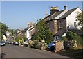
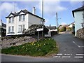
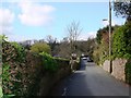
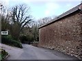
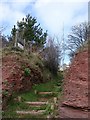
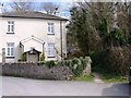
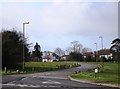
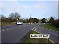
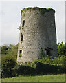
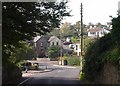
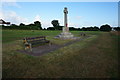
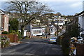
96 photos from this area
Area Information
Key information about the TQ5 0LX including its size, population, and administrative classification.
- Area Type
- Postcode
- Area Size
- 9361 m²
- Population
- 1243
- Population Density
- 260 people/km²
House Prices in TQ5 0LX
13
Properties
£295,995
Average Sold Price
£125,000
Lowest Price
£465,000
Highest Price
Showing 13 properties
| Address | Type | Beds | Baths | Last Sale Price | Last Sale Date | |
|---|---|---|---|---|---|---|
| 11 Vale Close, Brixham, TQ5 0LX | Detached | 2 | 1 | £465,000 | Nov 2025 | |
| 2 Vale Close, Brixham, TQ5 0LX | Bungalow | 2 | 1 | £379,950 | May 2021 | |
| 9 Vale Close, Brixham, TQ5 0LX | Bungalow | 2 | 2 | £350,000 | Nov 2019 | |
| 4 Vale Close, Brixham, TQ5 0LX | Bungalow | 2 | 2 | £425,000 | Mar 2017 | |
| 5 Vale Close, Brixham, TQ5 0LX | Bungalow | 2 | - | £247,000 | Oct 2014 | |
| 14 Vale Close, Brixham, TQ5 0LX | Bungalow | 2 | - | £300,000 | May 2014 | |
| 8 Vale Close, Brixham, TQ5 0LX | Bungalow | - | - | £225,000 | Jul 2009 | |
| 7 Vale Close, Brixham, TQ5 0LX | Bungalow | - | - | £260,000 | Feb 2009 | |
| 6 Vale Close, Brixham, TQ5 0LX | Bungalow | 2 | 2 | £183,000 | Mar 2003 | |
| 12 Vale Close, Brixham, TQ5 0LX | Detached | 2 | 1 | £125,000 | Jun 2000 |
Page 1 of 2
Energy Efficiency in TQ5 0LX
Amenities
Schools
| Rank | School | Type | Entry gender | Ages |
|---|
Explore more schools in this area
Go to Schools tabDemographics
Household Size
Two person
most common
Accommodation Type
Houses
most common
Tenure
78
majority
Ethnic Group
White
most common
Religion
N/A
most common
Household Composition
N/A
most common
Age
47
median
Elderly (65+ years)
most common
Household Deprivation
N/A
with no deprivation
NS-SEC
36
in Lower managerial occupations
Explore more demographic insights in this area
Go to Demographics tabPlanning
Planning Constraints
- Flood RiskPremium
- Ramsar Wetland SitesPremium
- Area of Outstanding Natural BeautyPremium
- Protected Nature ReservePremium
- Protected WoodlandPremium