Area Overview for TQ14 0HB
Photos of TQ14 0HB
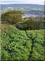
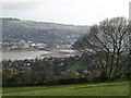
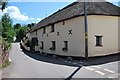
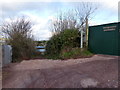
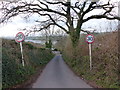
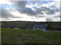
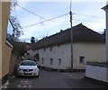
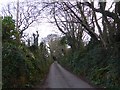
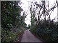
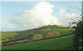
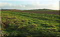
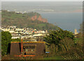
66 photos from this area
Area Information
Key information about the TQ14 0HB including its size, population, and administrative classification.
- Area Type
- Postcode
- Area Size
- 6.7 hectares
- Population
- 1215
- Population Density
- 152 people/km²
House Prices in TQ14 0HB
13
Properties
£558,850
Average Sold Price
£108,000
Lowest Price
£975,000
Highest Price
Showing 13 properties
| Address | Type | Beds | Baths | Last Sale Price | Last Sale Date | |
|---|---|---|---|---|---|---|
| The Garden House, Long Lane, Shaldon, TQ14 0HB | house | 4 | - | £975,000 | Nov 2022 | |
| Teignview, Long Lane, Shaldon, TQ14 0HB | Detached | 4 | 2 | £700,000 | Aug 2020 | |
| Teignways, Long Lane, Shaldon, TQ14 0HB | Bungalow | - | - | £450,000 | Jul 2017 | |
| Applehayes, Long Lane, Shaldon, TQ14 0HB | Detached | 3 | 4 | £818,000 | May 2014 | |
| Morningside, Long Lane, Shaldon, TQ14 0HB | Detached | 5 | - | £450,000 | Oct 2010 | |
| Delamore, Long Lane, Shaldon, TQ14 0HB | house | - | - | £630,000 | Sep 2010 | |
| Rivendell, Long Lane, Shaldon, TQ14 0HB | house | 4 | - | £650,000 | Dec 2008 | |
| High Ridge, Long Lane, Shaldon, TQ14 0HB | Bungalow | - | - | £670,000 | Dec 2006 | |
| Metherell, Long Lane, Shaldon, TQ14 0HB | Detached | - | - | £137,500 | Nov 1995 | |
| Homefield, Long Lane, Shaldon, TQ14 0HB | Detached | - | - | £108,000 | Sep 1995 |
Page 1 of 2
Energy Efficiency in TQ14 0HB
Amenities
Schools
| Rank | School | Type | Entry gender | Ages |
|---|
Explore more schools in this area
Go to Schools tabDemographics
Household Size
Two person
most common
Accommodation Type
Houses
most common
Tenure
82
majority
Ethnic Group
White
most common
Religion
N/A
most common
Household Composition
N/A
most common
Age
47
median
Adults (30-64 years)
most common
Household Deprivation
N/A
with no deprivation
NS-SEC
44
in Lower managerial occupations
Explore more demographic insights in this area
Go to Demographics tabPlanning
Planning Constraints
- Flood RiskPremium
- Ramsar Wetland SitesPremium
- Area of Outstanding Natural BeautyPremium
- Protected Nature ReservePremium
- Protected WoodlandPremium