Area Overview for TA8 2DE
Photos of TA8 2DE
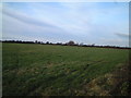
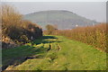
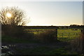
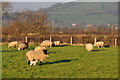
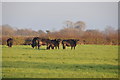
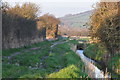
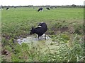
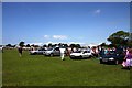
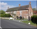
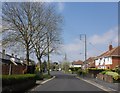
10 photos from this area
Area Information
Key information about the TA8 2DE including its size, population, and administrative classification.
- Area Type
- Postcode
- Area Size
- 15.9 hectares
- Population
- 1579
- Population Density
- 1456 people/km²
House Prices in TA8 2DE
25
Properties
£334,433
Average Sold Price
£58,000
Lowest Price
£881,000
Highest Price
Showing 25 properties
| Address | Type | Beds | Baths | Last Sale Price | Last Sale Date | |
|---|---|---|---|---|---|---|
| 191 Stoddens Road, Burnham On Sea, TA8 2DE | Bungalow | - | - | £881,000 | Apr 2022 | |
| 153 Stoddens Road, Burnham On Sea, TA8 2DE | Bungalow | - | - | £287,000 | Dec 2019 | |
| 151 Stoddens Road, Burnham On Sea, TA8 2DE | Bungalow | 3 | 3 | £385,000 | Oct 2019 | |
| 131 Stoddens Road, Burnham On Sea, TA8 2DE | Chalet | 4 | 2 | £310,000 | Aug 2019 | |
| 163 Stoddens Road, Burnham On Sea, TA8 2DE | Detached | 4 | 2 | £485,000 | Dec 2017 | |
| 145 Stoddens Road, Burnham On Sea, TA8 2DE | house | - | - | £370,000 | Jan 2017 | |
| 147 Stoddens Road, Burnham On Sea, TA8 2DE | house | 4 | - | £374,950 | Jun 2016 | |
| 149 Stoddens Road, Burnham On Sea, TA8 2DE | Detached | - | - | £302,000 | Jul 2008 | |
| 129 Stoddens Road, Burnham On Sea, TA8 2DE | Detached | - | - | £185,000 | Jul 2003 | |
| 141 Stoddens Road, Burnham On Sea, TA8 2DE | house | - | - | £283,000 | Apr 2003 |
Page 1 of 3
Energy Efficiency in TA8 2DE
Amenities
Schools
| Rank | School | Type | Entry gender | Ages |
|---|
Explore more schools in this area
Go to Schools tabDemographics
Household Size
Two person
most common
Accommodation Type
Houses
most common
Tenure
88
majority
Ethnic Group
White
most common
Religion
N/A
most common
Household Composition
N/A
most common
Age
47
median
Adults (30-64 years)
most common
Household Deprivation
N/A
with no deprivation
NS-SEC
35
in Lower managerial occupations
Explore more demographic insights in this area
Go to Demographics tabPlanning
Planning Constraints
- Flood RiskPremium
- Ramsar Wetland SitesPremium
- Area of Outstanding Natural BeautyPremium
- Protected Nature ReservePremium
- Protected WoodlandPremium