Area Overview for TA6 7EQ
Photos of TA6 7EQ

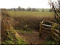
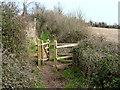
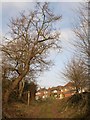
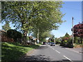


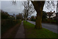

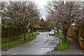

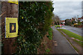
28 photos from this area
Area Information
Key information about the TA6 7EQ including its size, population, and administrative classification.
- Area Type
- Postcode
- Area Size
- 8930 m²
- Population
- 1944
- Population Density
- 5843 people/km²
House Prices in TA6 7EQ
19
Properties
£205,268
Average Sold Price
£77,950
Lowest Price
£332,000
Highest Price
Showing 19 properties
| Address | Type | Beds | Baths | Last Sale Price | Last Sale Date | |
|---|---|---|---|---|---|---|
| 4 Quantock Road, Bridgwater, TA6 7EQ | Semi-detached | 3 | 1 | £332,000 | Oct 2024 | |
| 6A Quantock Road, Bridgwater, TA6 7EQ | house | 3 | 1 | £310,000 | Dec 2022 | |
| 16 Quantock Road, Bridgwater, TA6 7EQ | Detached | 4 | 1 | £270,000 | Jul 2017 | |
| 6 Quantock Road, Bridgwater, TA6 7EQ | Detached | 3 | 2 | £238,000 | Apr 2012 | |
| 18 Quantock Road, Bridgwater, TA6 7EQ | house | 4 | 2 | £210,000 | Jul 2008 | |
| 14 Quantock Road, Bridgwater, TA6 7EQ | Detached | 4 | 2 | £225,500 | Dec 2006 | |
| 24 Quantock Road, Bridgwater, TA6 7EQ | Semi-detached | - | - | £248,000 | Dec 2006 | |
| 8A Quantock Road, Bridgwater, TA6 7EQ | Semi-detached | - | - | £141,500 | Aug 2005 | |
| 10A Quantock Road, Bridgwater, TA6 7EQ | Semi-detached | - | - | £110,000 | Nov 2001 | |
| 2 Quantock Road, Bridgwater, TA6 7EQ | house | - | - | £95,000 | Nov 2000 |
Page 1 of 2
Energy Efficiency in TA6 7EQ
Amenities
Schools
| Rank | School | Type | Entry gender | Ages |
|---|
Explore more schools in this area
Go to Schools tabDemographics
Household Size
Family (3-5 people)
most common
Accommodation Type
Houses
most common
Tenure
65
majority
Ethnic Group
White
most common
Religion
N/A
most common
Household Composition
N/A
most common
Age
47
median
Adults (30-64 years)
most common
Household Deprivation
N/A
with no deprivation
NS-SEC
29
in Lower managerial occupations
Explore more demographic insights in this area
Go to Demographics tabPlanning
Planning Constraints
- Flood RiskPremium
- Ramsar Wetland SitesPremium
- Area of Outstanding Natural BeautyPremium
- Protected Nature ReservePremium
- Protected WoodlandPremium