Area Overview for TA20 2PP
Photos of TA20 2PP
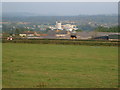
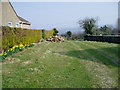
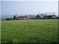
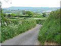
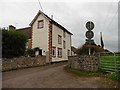
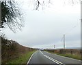
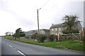
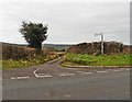
9 photos from this area
Area Information
Key information about the TA20 2PP including its size, population, and administrative classification.
- Area Type
- Postcode
- Area Size
- 3.1 hectares
- Population
- 1293
- Population Density
- 2427 people/km²
House Prices in TA20 2PP
19
Properties
£276,606
Average Sold Price
£140,000
Lowest Price
£1,079,000
Highest Price
Showing 19 properties
| Address | Type | Beds | Baths | Last Sale Price | Last Sale Date | |
|---|---|---|---|---|---|---|
| Thatchstones, Crossways, South Chard, Chard, TA20 2PP | house | - | - | £1,079,000 | Nov 2022 | |
| 23 Crossways, South Chard, Chard, TA20 2PP | house | - | - | £140,000 | Dec 2021 | |
| 24 Crossways, South Chard, Chard, TA20 2PP | house | - | - | £245,000 | May 2021 | |
| 18 Crossways, South Chard, Chard, TA20 2PP | Semi-detached | 3 | 1 | £206,000 | Jun 2020 | |
| 14 Crossways, South Chard, Chard, TA20 2PP | house | - | - | £175,000 | Dec 2018 | |
| 22 Crossways, South Chard, Chard, TA20 2PP | Terraced | - | - | £188,500 | Jan 2008 | |
| 11 Crossways, South Chard, Chard, TA20 2PP | Semi-detached | - | - | £164,000 | Oct 2007 | |
| 17 Crossways, South Chard, Chard, TA20 2PP | Semi-detached | - | - | £142,000 | Apr 2006 | |
| 20 Crossways, South Chard, Chard, TA20 2PP | Semi-detached | 3 | 1 | £149,950 | Mar 2005 | |
| 19 Crossways, South Chard, Chard, TA20 2PP | house | - | - | - | - |
Page 1 of 2
Energy Efficiency in TA20 2PP
Amenities
Schools
| Rank | School | Type | Entry gender | Ages |
|---|
Explore more schools in this area
Go to Schools tabDemographics
Household Size
Two person
most common
Accommodation Type
Houses
most common
Tenure
77
majority
Ethnic Group
White
most common
Religion
N/A
most common
Household Composition
N/A
most common
Age
47
median
Adults (30-64 years)
most common
Household Deprivation
N/A
with no deprivation
NS-SEC
28
in Lower managerial occupations
Explore more demographic insights in this area
Go to Demographics tabPlanning
Planning Constraints
- Flood RiskPremium
- Ramsar Wetland SitesPremium
- Area of Outstanding Natural BeautyPremium
- Protected Nature ReservePremium
- Protected WoodlandPremium