Area Overview for TA18 8BB
Photos of TA18 8BB
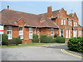
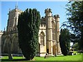
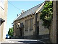
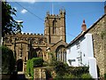
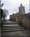
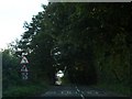
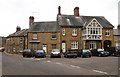
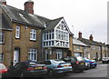
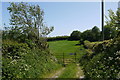
76 photos from this area
Area Information
Key information about the TA18 8BB including its size, population, and administrative classification.
- Area Type
- Postcode
- Area Size
- 2.8 hectares
- Population
- 1671
- Population Density
- 1068 people/km²
House Prices in TA18 8BB
50
Properties
£162,500
Average Sold Price
£135,000
Lowest Price
£193,000
Highest Price
Showing 50 properties
| Address | Type | Beds | Baths | Last Sale Price | Last Sale Date | |
|---|---|---|---|---|---|---|
| 24 Lyewater, Crewkerne, TA18 8BB | Terraced | 2 | 1 | £135,000 | Aug 2025 | |
| 22 Lyewater, Crewkerne, TA18 8BB | Terraced | 1 | 1 | £143,000 | May 2025 | |
| 37 Lyewater, Crewkerne, TA18 8BB | Terraced | 2 | 1 | £193,000 | Dec 2024 | |
| 10 Lyewater, Crewkerne, TA18 8BB | Terraced | 4 | 3 | £145,000 | Dec 2023 | |
| 65 Lyewater, Crewkerne, TA18 8BB | house | - | - | £190,000 | Jul 2023 | |
| Culverhayes, Lyewater, Crewkerne, TA18 8BB | Bungalow | 3 | 1 | £186,500 | Nov 2015 | |
| 61 Lyewater, Crewkerne, TA18 8BB | Unknown | - | - | £145,000 | Jan 2009 | |
| 63 Lyewater, Crewkerne, TA18 8BB | Terraced | 1 | 1 | - | - | |
| 12 Lyewater, Crewkerne, TA18 8BB | Terraced | 2 | 1 | - | - | |
| 31 Lyewater, Crewkerne, TA18 8BB | Cottage | 3 | 1 | - | - |
Page 1 of 5
Energy Efficiency in TA18 8BB
Amenities
Schools
| Rank | School | Type | Entry gender | Ages |
|---|
Explore more schools in this area
Go to Schools tabDemographics
Household Size
One person
most common
Accommodation Type
Houses
most common
Tenure
66
majority
Ethnic Group
White
most common
Religion
N/A
most common
Household Composition
N/A
most common
Age
47
median
Adults (30-64 years)
most common
Household Deprivation
N/A
with no deprivation
NS-SEC
33
in Lower managerial occupations
Explore more demographic insights in this area
Go to Demographics tabPlanning
Planning Constraints
- Flood RiskPremium
- Ramsar Wetland SitesPremium
- Area of Outstanding Natural BeautyPremium
- Protected Nature ReservePremium
- Protected WoodlandPremium