Area Overview for SP7 8EQ
Photos of SP7 8EQ
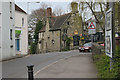
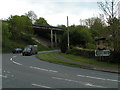
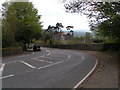
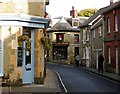
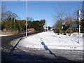
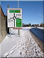
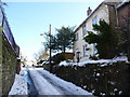
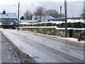
100 photos from this area
Area Information
Key information about the SP7 8EQ including its size, population, and administrative classification.
- Area Type
- Postcode
- Area Size
- 5116 m²
- Population
- 1819
- Population Density
- 2711 people/km²
House Prices in SP7 8EQ
18
Properties
£160,145
Average Sold Price
£41,500
Lowest Price
£242,000
Highest Price
Showing 18 properties
| Address | Type | Beds | Baths | Last Sale Price | Last Sale Date | |
|---|---|---|---|---|---|---|
| 9 Sweetmans Road, Shaftesbury, SP7 8EQ | house | 3 | - | £125,000 | Jun 2025 | |
| 27 Sweetmans Road, Shaftesbury, SP7 8EQ | Detached | 3 | 1 | £225,000 | Feb 2025 | |
| 17 Sweetmans Road, Shaftesbury, SP7 8EQ | house | - | - | £158,000 | Jan 2024 | |
| 21 Sweetmans Road, Shaftesbury, SP7 8EQ | Terraced | 3 | 1 | £242,000 | Oct 2023 | |
| 15 Sweetmans Road, Shaftesbury, SP7 8EQ | Terraced | 3 | 1 | £200,000 | Feb 2021 | |
| 5 Sweetmans Road, Shaftesbury, SP7 8EQ | house | - | - | £205,000 | Feb 2021 | |
| 7 Sweetmans Road, Shaftesbury, SP7 8EQ | Terraced | 3 | 2 | £170,000 | Oct 2016 | |
| 25 Sweetmans Road, Shaftesbury, SP7 8EQ | Terraced | 3 | - | £148,000 | Feb 2014 | |
| 23 Sweetmans Road, Shaftesbury, SP7 8EQ | Terraced | - | - | £86,950 | Nov 2001 | |
| 31 Sweetmans Road, Shaftesbury, SP7 8EQ | Terraced | 3 | 1 | £41,500 | Mar 1997 |
Page 1 of 2
Energy Efficiency in SP7 8EQ
Amenities
Schools
| Rank | School | Type | Entry gender | Ages |
|---|
Explore more schools in this area
Go to Schools tabDemographics
Household Size
Two person
most common
Accommodation Type
Houses
most common
Tenure
66
majority
Ethnic Group
White
most common
Religion
N/A
most common
Household Composition
N/A
most common
Age
47
median
Adults (30-64 years)
most common
Household Deprivation
N/A
with no deprivation
NS-SEC
26
in Lower managerial occupations
Explore more demographic insights in this area
Go to Demographics tabPlanning
Planning Constraints
- Flood RiskPremium
- Ramsar Wetland SitesPremium
- Area of Outstanding Natural BeautyPremium
- Protected Nature ReservePremium
- Protected WoodlandPremium