Area Overview for SP7 8EH
Photos of SP7 8EH
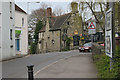
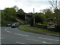
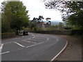
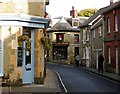
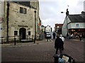
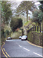
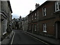
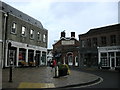
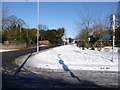
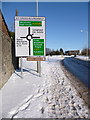
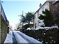
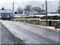
100 photos from this area
Area Information
Key information about the SP7 8EH including its size, population, and administrative classification.
- Area Type
- Postcode
- Area Size
- 2.0 hectares
- Population
- 1819
- Population Density
- 2711 people/km²
House Prices in SP7 8EH
68
Properties
£159,483
Average Sold Price
£17,039
Lowest Price
£295,000
Highest Price
Showing 68 properties
| Address | Type | Beds | Baths | Last Sale Price | Last Sale Date | |
|---|---|---|---|---|---|---|
| 65 Sweetmans Road, Shaftesbury, SP7 8EH | Terraced | 3 | - | £245,000 | Sep 2025 | |
| 68 Sweetmans Road, Shaftesbury, SP7 8EH | Terraced | 2 | 1 | £184,000 | May 2025 | |
| 87 Sweetmans Road, Shaftesbury, SP7 8EH | Terraced | 3 | 1 | £230,000 | Jul 2024 | |
| 30 Sweetmans Road, Shaftesbury, SP7 8EH | Bungalow | 2 | 1 | £295,000 | Jul 2024 | |
| 37 Sweetmans Road, Shaftesbury, SP7 8EH | Terraced | 3 | 1 | £260,000 | Jun 2024 | |
| 56 Sweetmans Road, Shaftesbury, SP7 8EH | Terraced | 2 | 1 | £182,500 | Feb 2023 | |
| 94 Sweetmans Road, Shaftesbury, SP7 8EH | Terraced | 2 | 1 | £190,000 | Jun 2022 | |
| 80 Sweetmans Road, Shaftesbury, SP7 8EH | Terraced | 2 | 1 | £180,000 | Mar 2022 | |
| 91 Sweetmans Road, Shaftesbury, SP7 8EH | Terraced | 3 | 1 | £225,000 | Sep 2021 | |
| 58 Sweetmans Road, Shaftesbury, SP7 8EH | Terraced | 2 | 1 | £142,000 | Jul 2021 |
Page 1 of 7
Energy Efficiency in SP7 8EH
Amenities
Schools
| Rank | School | Type | Entry gender | Ages |
|---|
Explore more schools in this area
Go to Schools tabDemographics
Household Size
Two person
most common
Accommodation Type
Houses
most common
Tenure
66
majority
Ethnic Group
White
most common
Religion
N/A
most common
Household Composition
N/A
most common
Age
47
median
Adults (30-64 years)
most common
Household Deprivation
N/A
with no deprivation
NS-SEC
26
in Lower managerial occupations
Explore more demographic insights in this area
Go to Demographics tabPlanning
Planning Constraints
- Flood RiskPremium
- Ramsar Wetland SitesPremium
- Area of Outstanding Natural BeautyPremium
- Protected Nature ReservePremium
- Protected WoodlandPremium