Area Overview for SP5 4LE
Photos of SP5 4LE
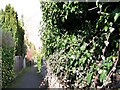
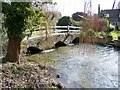
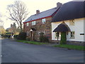
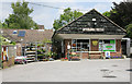
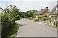

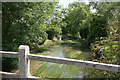
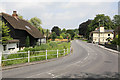
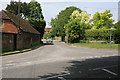
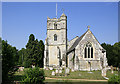
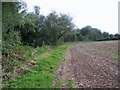

91 photos from this area
Area Information
Key information about the SP5 4LE including its size, population, and administrative classification.
- Area Type
- Postcode
- Area Size
- 14.5 hectares
- Population
- 2161
- Population Density
- 52 people/km²
House Prices in SP5 4LE
15
Properties
£600,821
Average Sold Price
£300,000
Lowest Price
£890,000
Highest Price
Showing 15 properties
| Address | Type | Beds | Baths | Last Sale Price | Last Sale Date | |
|---|---|---|---|---|---|---|
| Rudgwick, Stratford Tony Road, Coombe Bissett, SP5 4LE | Bungalow | 4 | - | £685,000 | Mar 2022 | |
| Graylings, Salisbury Road, Coombe Bissett, SP5 4LE | house | - | - | £890,000 | Jun 2019 | |
| The Old Gate House, Salisbury Road, Coombe Bissett, SP5 4LE | house | - | - | £644,000 | Oct 2018 | |
| Mill Barn, Salisbury Road, Coombe Bissett, SP5 4LE | house | - | - | £775,000 | Dec 2015 | |
| Mill House, Stratford Tony Road, Coombe Bissett, SP5 4LE | Detached | 3 | 2 | £538,000 | Aug 2015 | |
| The Withies, Salisbury Road, Coombe Bissett, SP5 4LE | Detached | 4 | - | £351,000 | Jul 2014 | |
| Martins, Stratford Tony Road, Coombe Bissett, SP5 4LE | Detached | 6 | 3 | £483,000 | Jan 2007 | |
| Bridge House, Salisbury Road, Coombe Bissett, SP5 4LE | Detached | 5 | 2 | £741,390 | Aug 2006 | |
| Thorpe Cottage, Salisbury Road, Coombe Bissett, SP5 4LE | Detached | - | - | £300,000 | Mar 2001 | |
| Gravels, Salisbury Road, Coombe Bissett, SP5 4LE | Detached | - | - | - | - |
Page 1 of 2
Energy Efficiency in SP5 4LE
Amenities
Schools
| Rank | School | Type | Entry gender | Ages |
|---|
Explore more schools in this area
Go to Schools tabDemographics
Household Size
Two person
most common
Accommodation Type
Houses
most common
Tenure
64
majority
Ethnic Group
White
most common
Religion
N/A
most common
Household Composition
N/A
most common
Age
47
median
Adults (30-64 years)
most common
Household Deprivation
N/A
with no deprivation
NS-SEC
46
in Lower managerial occupations
Explore more demographic insights in this area
Go to Demographics tabPlanning
Planning Constraints
- Flood RiskPremium
- Ramsar Wetland SitesPremium
- Area of Outstanding Natural BeautyPremium
- Protected Nature ReservePremium
- Protected WoodlandPremium