Area Overview for SP5 1RW
Photos of SP5 1RW
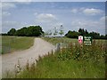
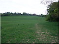
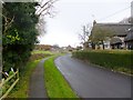
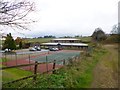
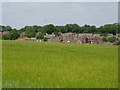
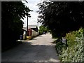
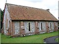
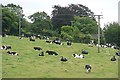
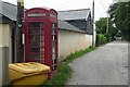
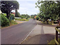
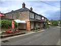
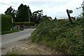
33 photos from this area
Area Information
Key information about the SP5 1RW including its size, population, and administrative classification.
- Area Type
- Postcode
- Area Size
- 2.7 hectares
- Population
- 1710
- Population Density
- 102 people/km²
House Prices in SP5 1RW
66
Properties
£202,053
Average Sold Price
£58,000
Lowest Price
£453,500
Highest Price
Showing 66 properties
| Address | Type | Beds | Baths | Last Sale Price | Last Sale Date | |
|---|---|---|---|---|---|---|
| 132 Saxon Leas, Middle Winterslow, SP5 1RW | house | - | - | £299,000 | Jul 2025 | |
| 106 Saxon Leas, Middle Winterslow, SP5 1RW | Terraced | 3 | 1 | £267,500 | Mar 2025 | |
| 14 Saxon Leas, Middle Winterslow, SP5 1RW | Semi-detached | 4 | 2 | £453,500 | Nov 2024 | |
| 118 Saxon Leas, Middle Winterslow, SP5 1RW | Terraced | 3 | 3 | £273,000 | May 2024 | |
| 46 Saxon Leas, Middle Winterslow, SP5 1RW | Terraced | 3 | 1 | £172,000 | May 2024 | |
| 90 Saxon Leas, Middle Winterslow, SP5 1RW | house | - | - | £366,500 | Mar 2024 | |
| 64 Saxon Leas, Middle Winterslow, SP5 1RW | house | - | - | £240,000 | Feb 2024 | |
| 34 Saxon Leas, Middle Winterslow, SP5 1RW | Terraced | 3 | 1 | £260,000 | Sep 2023 | |
| 72 Saxon Leas, Middle Winterslow, SP5 1RW | Terraced | 3 | 1 | £285,000 | Sep 2022 | |
| 78 Saxon Leas, Middle Winterslow, SP5 1RW | Terraced | 6 | 3 | £315,000 | Dec 2021 |
Page 1 of 7
Energy Efficiency in SP5 1RW
Amenities
Schools
| Rank | School | Type | Entry gender | Ages |
|---|
Explore more schools in this area
Go to Schools tabDemographics
Household Size
Two person
most common
Accommodation Type
Houses
most common
Tenure
83
majority
Ethnic Group
White
most common
Religion
N/A
most common
Household Composition
N/A
most common
Age
47
median
Adults (30-64 years)
most common
Household Deprivation
N/A
with no deprivation
NS-SEC
45
in Lower managerial occupations
Explore more demographic insights in this area
Go to Demographics tabPlanning
Planning Constraints
- Flood RiskPremium
- Ramsar Wetland SitesPremium
- Area of Outstanding Natural BeautyPremium
- Protected Nature ReservePremium
- Protected WoodlandPremium