Area Overview for SP5 1RN
Photos of SP5 1RN
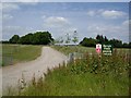
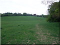
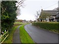
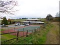
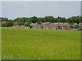
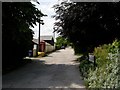
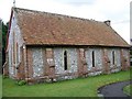
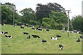
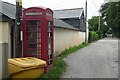
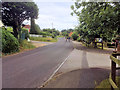
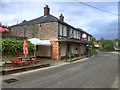
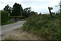
33 photos from this area
Area Information
Key information about the SP5 1RN including its size, population, and administrative classification.
- Area Type
- Postcode
- Area Size
- 2.1 hectares
- Population
- 1710
- Population Density
- 102 people/km²
House Prices in SP5 1RN
39
Properties
£214,382
Average Sold Price
£55,000
Lowest Price
£403,000
Highest Price
Showing 39 properties
| Address | Type | Beds | Baths | Last Sale Price | Last Sale Date | |
|---|---|---|---|---|---|---|
| 55 Saxon Leas, Middle Winterslow, SP5 1RN | house | - | - | £360,000 | Oct 2025 | |
| 47 Saxon Leas, Middle Winterslow, SP5 1RN | house | - | - | £403,000 | Dec 2022 | |
| 23 Saxon Leas, Middle Winterslow, SP5 1RN | house | - | - | £386,000 | Mar 2022 | |
| 37 Saxon Leas, Middle Winterslow, SP5 1RN | Detached | 3 | 1 | £265,000 | Sep 2019 | |
| 75 Saxon Leas, Middle Winterslow, SP5 1RN | house | - | - | £277,500 | Nov 2018 | |
| 41 Saxon Leas, Middle Winterslow, SP5 1RN | house | - | - | £325,000 | Jan 2018 | |
| 45 Saxon Leas, Middle Winterslow, SP5 1RN | Terraced | 4 | 1 | £260,000 | Aug 2017 | |
| 61 Saxon Leas, Middle Winterslow, SP5 1RN | Semi-detached | 4 | 2 | £282,500 | Jul 2016 | |
| 63 Saxon Leas, Middle Winterslow, SP5 1RN | house | - | - | £242,009 | Jul 2016 | |
| 9 Saxon Leas, Middle Winterslow, SP5 1RN | Semi-detached | 2 | 1 | £285,000 | Dec 2015 |
Page 1 of 4
Energy Efficiency in SP5 1RN
Amenities
Schools
| Rank | School | Type | Entry gender | Ages |
|---|
Explore more schools in this area
Go to Schools tabDemographics
Household Size
Two person
most common
Accommodation Type
Houses
most common
Tenure
83
majority
Ethnic Group
White
most common
Religion
N/A
most common
Household Composition
N/A
most common
Age
47
median
Adults (30-64 years)
most common
Household Deprivation
N/A
with no deprivation
NS-SEC
45
in Lower managerial occupations
Explore more demographic insights in this area
Go to Demographics tabPlanning
Planning Constraints
- Flood RiskPremium
- Ramsar Wetland SitesPremium
- Area of Outstanding Natural BeautyPremium
- Protected Nature ReservePremium
- Protected WoodlandPremium