Area Overview for SP4 6LA
Photos of SP4 6LA
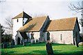
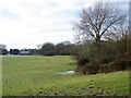
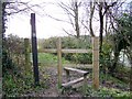
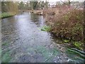
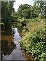
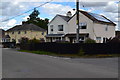
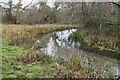
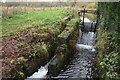
28 photos from this area
Area Information
Key information about the SP4 6LA including its size, population, and administrative classification.
- Area Type
- Postcode
- Area Size
- 3.5 hectares
- Population
- 1375
- Population Density
- 42 people/km²
House Prices in SP4 6LA
23
Properties
£420,909
Average Sold Price
£228,000
Lowest Price
£750,000
Highest Price
Showing 23 properties
| Address | Type | Beds | Baths | Last Sale Price | Last Sale Date | |
|---|---|---|---|---|---|---|
| 19 East Gomeldon Road, Gomeldon, SP4 6LA | Detached | 4 | 2 | £432,000 | Feb 2024 | |
| House In The Clouds, 29 East Gomeldon Road, Gomeldon, SP4 6LA | house | 3 | 1 | £410,000 | Mar 2022 | |
| 27 East Gomeldon Road, Gomeldon, SP4 6LA | house | - | - | £345,000 | Mar 2021 | |
| Bramley, 3 East Gomeldon Road, Gomeldon, SP4 6LA | Bungalow | 2 | 3 | £750,000 | Feb 2021 | |
| 39 East Gomeldon Road, Gomeldon, SP4 6LA | Bungalow | - | - | £450,000 | Apr 2015 | |
| 11 East Gomeldon Road, Gomeldon, SP4 6LA | house | 3 | - | £445,000 | Jul 2012 | |
| 43 East Gomeldon Road, Gomeldon, SP4 6LA | Bungalow | - | - | £228,000 | May 2009 | |
| 31 East Gomeldon Road, Gomeldon, SP4 6LA | house | - | - | £355,000 | Mar 2009 | |
| 15 East Gomeldon Road, Gomeldon, SP4 6LA | house | - | - | £430,000 | Dec 2005 | |
| Orchard Croft, 5 East Gomeldon Road, Gomeldon, SP4 6LA | Detached | - | - | £375,000 | Apr 2005 |
Page 1 of 3
Energy Efficiency in SP4 6LA
Amenities
Schools
| Rank | School | Type | Entry gender | Ages |
|---|
Explore more schools in this area
Go to Schools tabDemographics
Household Size
Two person
most common
Accommodation Type
Houses
most common
Tenure
80
majority
Ethnic Group
White
most common
Religion
N/A
most common
Household Composition
N/A
most common
Age
47
median
Adults (30-64 years)
most common
Household Deprivation
N/A
with no deprivation
NS-SEC
43
in Lower managerial occupations
Explore more demographic insights in this area
Go to Demographics tabPlanning
Planning Constraints
- Flood RiskPremium
- Ramsar Wetland SitesPremium
- Area of Outstanding Natural BeautyPremium
- Protected Nature ReservePremium
- Protected WoodlandPremium