Area Overview for SN9 5NN
Photos of SN9 5NN
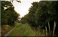

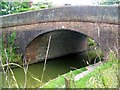
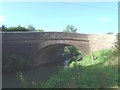
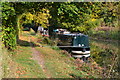
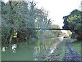
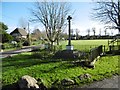
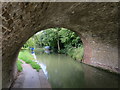
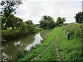
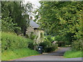
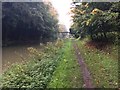
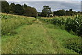
48 photos from this area
Area Information
Key information about the SN9 5NN including its size, population, and administrative classification.
- Area Type
- Postcode
- Area Size
- 36.8 hectares
- Population
- 1707
- Population Density
- 33 people/km²
House Prices in SN9 5NN
22
Properties
£337,054
Average Sold Price
£119,950
Lowest Price
£645,199
Highest Price
Showing 22 properties
| Address | Type | Beds | Baths | Last Sale Price | Last Sale Date | |
|---|---|---|---|---|---|---|
| 13 Wilcot Green, Wilcot, SN9 5NN | house | 2 | 1 | £480,000 | Oct 2024 | |
| Cross Hayes, Hare Lane North East C 52 Over Bristow Bridge To A 345, Wilcot, SN9 5NN | house | - | - | £127,500 | Aug 2023 | |
| Boundary Cottage, 11 Wilcot Green, Wilcot, SN9 5NN | Semi-detached | 4 | 3 | £645,199 | Feb 2023 | |
| 18 Wilcot Green, Wilcot, SN9 5NN | house | - | - | £425,000 | Jan 2021 | |
| Box Cottage, 22 Wilcot Green, Wilcot, SN9 5NN | house | - | - | £575,000 | Feb 2006 | |
| School House, Wilcot Green, Wilcot, SN9 5NN | Semi-detached | - | - | £380,000 | Dec 2005 | |
| Bridge Cottage, 6 Alton Road Wilcot Unclassified Road East Next To Canal And North Around Stowell Park To C 268, Wilcot, SN9 5NN | Detached | - | - | £345,000 | Jul 2005 | |
| Mole End, 20 Wilcot Green, Wilcot, SN9 5NN | Detached | - | - | £225,000 | Mar 2002 | |
| Kennet House, 7 Alton Road Wilcot Unclassified Road East Next To Canal And North Around Stowell Park To C 268, Wilcot, SN9 5NN | Detached | - | - | £360,000 | Nov 1999 | |
| 10 Wilcot Green, Wilcot, SN9 5NN | Semi-detached | - | - | £162,000 | Aug 1999 |
Page 1 of 3
Energy Efficiency in SN9 5NN
Amenities
Schools
| Rank | School | Type | Entry gender | Ages |
|---|
Explore more schools in this area
Go to Schools tabDemographics
Household Size
Two person
most common
Accommodation Type
Houses
most common
Tenure
71
majority
Ethnic Group
White
most common
Religion
N/A
most common
Household Composition
N/A
most common
Age
47
median
Adults (30-64 years)
most common
Household Deprivation
N/A
with no deprivation
NS-SEC
46
in Lower managerial occupations
Explore more demographic insights in this area
Go to Demographics tabPlanning
Planning Constraints
- Flood RiskPremium
- Ramsar Wetland SitesPremium
- Area of Outstanding Natural BeautyPremium
- Protected Nature ReservePremium
- Protected WoodlandPremium