Area Overview for SN8 4NG
Photos of SN8 4NG
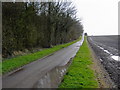
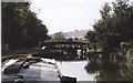
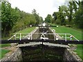
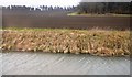
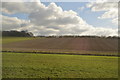
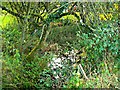

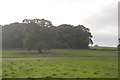
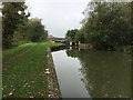
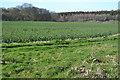
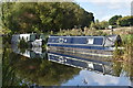
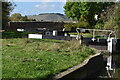
43 photos from this area
Area Information
Key information about the SN8 4NG including its size, population, and administrative classification.
- Area Type
- Postcode
- Area Size
- 58.0 hectares
- Population
- 1590
- Population Density
- 28 people/km²
House Prices in SN8 4NG
5
Properties
£675,000
Average Sold Price
£590,000
Lowest Price
£760,000
Highest Price
Showing 5 properties
| Address | Type | Beds | Baths | Last Sale Price | Last Sale Date | |
|---|---|---|---|---|---|---|
| Lock Cottage, Forest Road South To Brimslade, Brimslade, SN8 4NG | Detached | 4 | 3 | £590,000 | Dec 2020 | |
| Brimslade House, Forest Road South To Brimslade, Brimslade, SN8 4NG | Detached | 8 | - | £760,000 | Jan 2000 | |
| Hatt Gate, Forest Road North East To A 346 At Leigh Hill, Savernake, SN8 4NG | Cottage | 4 | 2 | - | - | |
| Tennis 63M From Hatt Gate 59M From Unnamed Road, Forest Road North East To A 346 At Leigh Hill, Savernake, SN8 4NG | Leisure | - | - | - | - | |
| Brimslade Farmhouse, Brimslade Farm, Forest Road South To Brimslade, Brimslade, SN8 4NG | Flat | 4 | 2 | - | - |
Energy Efficiency in SN8 4NG
Amenities
Schools
| Rank | School | Type | Entry gender | Ages |
|---|
Explore more schools in this area
Go to Schools tabDemographics
Household Size
Two person
most common
Accommodation Type
Houses
most common
Tenure
72
majority
Ethnic Group
White
most common
Religion
N/A
most common
Household Composition
N/A
most common
Age
47
median
Adults (30-64 years)
most common
Household Deprivation
N/A
with no deprivation
NS-SEC
42
in Lower managerial occupations
Explore more demographic insights in this area
Go to Demographics tabPlanning
Planning Constraints
- Flood RiskPremium
- Ramsar Wetland SitesPremium
- Area of Outstanding Natural BeautyPremium
- Protected Nature ReservePremium
- Protected WoodlandPremium