Area Overview for SN8 3BL
Photos of SN8 3BL
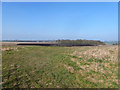
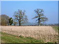
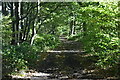
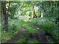
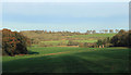
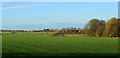
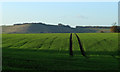
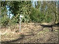
19 photos from this area
Area Information
Key information about the SN8 3BL including its size, population, and administrative classification.
- Area Type
- Postcode
- Area Size
- 1.6 km²
- Population
- 1590
- Population Density
- 28 people/km²
House Prices in SN8 3BL
8
Properties
£511,667
Average Sold Price
£290,000
Lowest Price
£850,000
Highest Price
Showing 8 properties
| Address | Type | Beds | Baths | Last Sale Price | Last Sale Date | |
|---|---|---|---|---|---|---|
| 1 Ram Alley, Burbage, SN8 3BL | house | - | - | £850,000 | Dec 2018 | |
| 171 Ram Alley, Burbage, SN8 3BL | house | - | - | £290,000 | Apr 2009 | |
| Walnut Tree Cottage, 172 Ram Alley, Burbage, SN8 3BL | Semi-detached | - | - | £395,000 | Jan 2004 | |
| Tanglewood, 169-170 Ram Alley, Burbage, SN8 3BL | house | 5 | - | - | - | |
| Paddock Cottage, Ram Alley, Burbage, SN8 3BL | Detached | - | - | - | - | |
| The Coppice, Ram Alley, Burbage, SN8 3BL | Detached | - | - | - | - | |
| Field Rise, Ram Alley, Burbage, SN8 3BL | Detached | - | - | - | - | |
| Berwyn Cottage, 78 Ram Alley, Burbage, SN8 3BL | Detached | - | - | - | - |
Energy Efficiency in SN8 3BL
Amenities
Schools
| Rank | School | Type | Entry gender | Ages |
|---|
Explore more schools in this area
Go to Schools tabDemographics
Household Size
Two person
most common
Accommodation Type
Houses
most common
Tenure
72
majority
Ethnic Group
White
most common
Religion
N/A
most common
Household Composition
N/A
most common
Age
47
median
Adults (30-64 years)
most common
Household Deprivation
N/A
with no deprivation
NS-SEC
42
in Lower managerial occupations
Explore more demographic insights in this area
Go to Demographics tabPlanning
Planning Constraints
- Flood RiskPremium
- Ramsar Wetland SitesPremium
- Area of Outstanding Natural BeautyPremium
- Protected Nature ReservePremium
- Protected WoodlandPremium