Area Overview for SN8 4HW
Photos of SN8 4HW
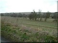
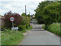
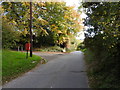
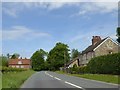
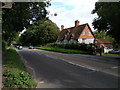
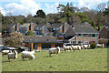
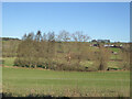
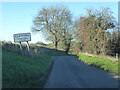
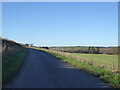
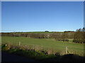
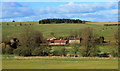
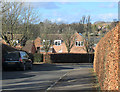
24 photos from this area
Area Information
Key information about the SN8 4HW including its size, population, and administrative classification.
- Area Type
- Postcode
- Area Size
- 10.3 hectares
- Population
- 1761
- Population Density
- 23 people/km²
House Prices in SN8 4HW
39
Properties
£369,220
Average Sold Price
£76,000
Lowest Price
£875,000
Highest Price
Showing 39 properties
| Address | Type | Beds | Baths | Last Sale Price | Last Sale Date | |
|---|---|---|---|---|---|---|
| 53 High Street, Manton, SN8 4HW | house | 2 | 2 | £480,000 | Jun 2025 | |
| 73 High Street, Manton, SN8 4HW | Cottage | 3 | 2 | £695,000 | Jun 2022 | |
| 33 High Street, Manton, SN8 4HW | house | - | - | £875,000 | Sep 2021 | |
| 67 High Street, Manton, SN8 4HW | Terraced | 2 | 1 | £262,500 | Oct 2020 | |
| 56 High Street, Manton, SN8 4HW | house | - | - | £300,000 | May 2019 | |
| 55 High Street, Manton, SN8 4HW | house | - | - | £395,000 | Apr 2017 | |
| Kennet House, 43 High Street, Manton, SN8 4HW | house | - | - | £645,000 | Apr 2015 | |
| 42 High Street, Manton, SN8 4HW | Detached | 5 | - | £830,000 | Dec 2014 | |
| 36 High Street, Manton, SN8 4HW | house | 5 | - | £703,000 | May 2014 | |
| 58 High Street, Manton, SN8 4HW | Semi-detached | 2 | - | £215,000 | Sep 2013 |
Page 1 of 4
Energy Efficiency in SN8 4HW
Amenities
Schools
| Rank | School | Type | Entry gender | Ages |
|---|
Explore more schools in this area
Go to Schools tabDemographics
Household Size
Two person
most common
Accommodation Type
Houses
most common
Tenure
64
majority
Ethnic Group
White
most common
Religion
N/A
most common
Household Composition
N/A
most common
Age
47
median
Adults (30-64 years)
most common
Household Deprivation
N/A
with no deprivation
NS-SEC
44
in Lower managerial occupations
Explore more demographic insights in this area
Go to Demographics tabPlanning
Planning Constraints
- Flood RiskPremium
- Ramsar Wetland SitesPremium
- Area of Outstanding Natural BeautyPremium
- Protected Nature ReservePremium
- Protected WoodlandPremium