Area Overview for SN8 2PY
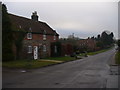
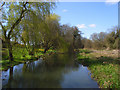
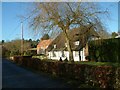
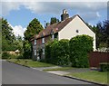
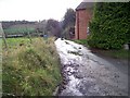
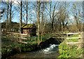
Photos of SN8 2PY
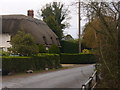
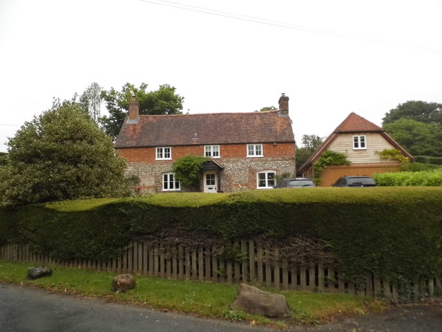
![Ramsbury houses [61] in SN8 2PY](https://images.propbar.co.uk/images/geograph/64/50/6450677_120.jpg)
![Ramsbury houses [62] in SN8 2PY](https://images.propbar.co.uk/images/geograph/64/50/6450681_120.jpg)
22 photos from this area
Area Information
Key information about the SN8 2PY including its size, population, and administrative classification.
- Area Type
- Postcode
- Area Size
- 4.1 hectares
- Population
- 1540
- Population Density
- 502 people/km²
House Prices in SN8 2PY
43
Properties
£308,625
Average Sold Price
£68,500
Lowest Price
£455,000
Highest Price
Showing 43 properties
| Address | Type | Beds | Baths | Last Sale Price | Last Sale Date | |
|---|---|---|---|---|---|---|
| 2 Whittonditch Road, Ramsbury, SN8 2PY | house | - | - | £301,000 | Jan 2019 | |
| 47 Whittonditch Road, Ramsbury, SN8 2PY | Semi-detached | 2 | - | £275,000 | Jul 2018 | |
| 44 Whittonditch Road, Ramsbury, SN8 2PY | Semi-detached | 4 | 3 | £455,000 | Mar 2017 | |
| 14 Whittonditch Road, Ramsbury, SN8 2PY | house | - | - | £437,000 | Jul 2016 | |
| 37 Whittonditch Road, Ramsbury, SN8 2PY | Semi-detached | 4 | - | £377,500 | Nov 2015 | |
| Fairhaven, 59 Whittonditch Road, Ramsbury, SN8 2PY | Detached | 4 | 2 | £395,000 | Jan 2010 | |
| 42 Whittonditch Road, Ramsbury, SN8 2PY | Semi-detached | - | - | £160,000 | Jul 2003 | |
| 13 Whittonditch Road, Ramsbury, SN8 2PY | Semi-detached | - | - | £68,500 | Feb 1995 | |
| 1 Whittonditch Road, Ramsbury, SN8 2PY | Semi-detached | 3 | 1 | - | - | |
| 46 Whittonditch Road, Ramsbury, SN8 2PY | Terraced | 4 | 1 | - | - |
Page 1 of 5
Energy Efficiency in SN8 2PY
Amenities
Schools
| Rank | School | Type | Entry gender | Ages |
|---|
Explore more schools in this area
Go to Schools tabDemographics
Household Size
Two person
most common
Accommodation Type
Houses
most common
Tenure
69
majority
Ethnic Group
White
most common
Religion
N/A
most common
Household Composition
N/A
most common
Age
47
median
Adults (30-64 years)
most common
Household Deprivation
N/A
with no deprivation
NS-SEC
44
in Lower managerial occupations
Explore more demographic insights in this area
Go to Demographics tabPlanning
Planning Constraints
- Flood RiskPremium
- Ramsar Wetland SitesPremium
- Area of Outstanding Natural BeautyPremium
- Protected Nature ReservePremium
- Protected WoodlandPremium