Area Overview for SN8 1PU
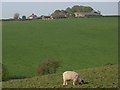
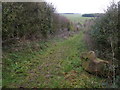
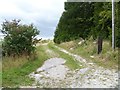
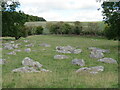
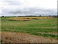
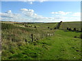
Photos of SN8 1PU
![Fyfield buildings [2] in SN8 1PU](https://images.propbar.co.uk/images/geograph/63/59/6359424_120.jpg)
![Towards the downs [3] in SN8 1PU](https://images.propbar.co.uk/images/geograph/63/59/6359432_120.jpg)
![Fyfield houses [2] in SN8 1PU](https://images.propbar.co.uk/images/geograph/63/59/6359429_120.jpg)
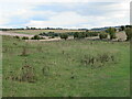
13 photos from this area
Area Information
Key information about the SN8 1PU including its size, population, and administrative classification.
- Area Type
- Postcode
- Area Size
- 1.3 km²
- Population
- 1761
- Population Density
- 23 people/km²
House Prices in SN8 1PU
15
Properties
£469,400
Average Sold Price
£249,000
Lowest Price
£800,000
Highest Price
Showing 15 properties
| Address | Type | Beds | Baths | Last Sale Price | Last Sale Date | |
|---|---|---|---|---|---|---|
| Ivy House Farm, Bath Road, Fyfield, SN8 1PU | Detached | 5 | 5 | £800,000 | May 2022 | |
| South View, Bath Road, Fyfield, SN8 1PU | Detached | 3 | 2 | £383,000 | Dec 2020 | |
| Tawny Thatch, Bath Road, Fyfield, SN8 1PU | Detached | - | - | £249,000 | Jun 2010 | |
| Patney House, Bath Road, Fyfield, SN8 1PU | Detached | - | - | £575,000 | Jun 2004 | |
| Fyfield House, Bath Road, Fyfield, SN8 1PU | Detached | 5 | 2 | £340,000 | May 1997 | |
| 1, Ballygrant, Kennet View, Bath Road, Fyfield, SN8 1PU | Detached | 5 | 4 | - | - | |
| The Lodge, Road From Spring Cottage North West To Junction With Taylors Green, Lower Fyfield, SN8 1PU | Detached | 4 | 3 | - | - | |
| Fyfield Hill Barn, Fyfield Hill, Bath Road, Marlborough, SN8 1PU | Detached | 7 | - | - | - | |
| The Studio, Ivy House Farm, Bath Road, Fyfield, SN8 1PU | Detached | - | - | - | - | |
| Tennis 83M From Fyfield House, Bath Road 74M From A4, Bath Road, Fyfield, SN8 1PU | Leisure | - | - | - | - |
Page 1 of 2
Energy Efficiency in SN8 1PU
Amenities
Schools
| Rank | School | Type | Entry gender | Ages |
|---|
Explore more schools in this area
Go to Schools tabDemographics
Household Size
Two person
most common
Accommodation Type
Houses
most common
Tenure
64
majority
Ethnic Group
White
most common
Religion
N/A
most common
Household Composition
N/A
most common
Age
47
median
Adults (30-64 years)
most common
Household Deprivation
N/A
with no deprivation
NS-SEC
44
in Lower managerial occupations
Explore more demographic insights in this area
Go to Demographics tabPlanning
Planning Constraints
- Flood RiskPremium
- Ramsar Wetland SitesPremium
- Area of Outstanding Natural BeautyPremium
- Protected Nature ReservePremium
- Protected WoodlandPremium