Area Overview for SN5 4HQ
Photos of SN5 4HQ
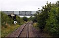
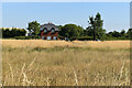
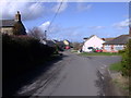
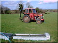
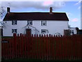
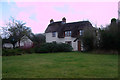
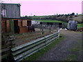
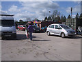
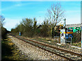
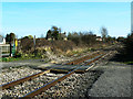
23 photos from this area
Area Information
Key information about the SN5 4HQ including its size, population, and administrative classification.
- Area Type
- Postcode
- Area Size
- 67.2 hectares
- Population
- 1585
- Population Density
- 687 people/km²
House Prices in SN5 4HQ
14
Properties
£339,483
Average Sold Price
£91,700
Lowest Price
£440,200
Highest Price
Showing 14 properties
| Address | Type | Beds | Baths | Last Sale Price | Last Sale Date | |
|---|---|---|---|---|---|---|
| Meadows View, 15 Hoggs Lane, Purton, SN5 4HQ | house | 3 | 1 | £435,000 | Aug 2023 | |
| Chapel House, 12 Hoggs Lane, Purton, SN5 4HQ | house | 3 | 1 | £375,000 | Apr 2014 | |
| 17 Hoggs Lane, Purton, SN5 4HQ | Semi-detached | 3 | 2 | £265,000 | Dec 2007 | |
| 16 Hoggs Lane, Purton, SN5 4HQ | Detached | - | - | £430,000 | Sep 2006 | |
| Apple Tree Cottage, 10 Hoggs Lane, Purton, SN5 4HQ | Semi-detached | - | - | £440,200 | May 2005 | |
| 18 Hoggs Lane, Purton, SN5 4HQ | Semi-detached | 3 | - | £91,700 | Jan 1998 | |
| Row Farm, 19 Hoggs Lane, Purton, SN5 4HQ | Detached | 4 | 4 | - | - | |
| 7 Hoggs Lane, Purton, SN5 4HQ | Detached | 3 | - | - | - | |
| High Hills Farm, Hoggs Lane, Purton, SN5 4HQ | Detached | - | - | - | - | |
| Annexe, 9 Hoggs Lane, Purton, SN5 4HQ | Flat | - | - | - | - |
Page 1 of 2
Energy Efficiency in SN5 4HQ
Amenities
Schools
| Rank | School | Type | Entry gender | Ages |
|---|
Explore more schools in this area
Go to Schools tabDemographics
Household Size
Two person
most common
Accommodation Type
Houses
most common
Tenure
89
majority
Ethnic Group
White
most common
Religion
N/A
most common
Household Composition
N/A
most common
Age
47
median
Adults (30-64 years)
most common
Household Deprivation
N/A
with no deprivation
NS-SEC
43
in Lower managerial occupations
Explore more demographic insights in this area
Go to Demographics tabPlanning
Planning Constraints
- Flood RiskPremium
- Ramsar Wetland SitesPremium
- Area of Outstanding Natural BeautyPremium
- Protected Nature ReservePremium
- Protected WoodlandPremium