Area Overview for SN14 8HN
Photos of SN14 8HN
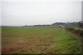
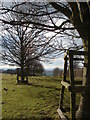
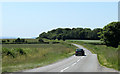
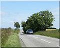
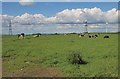
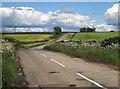
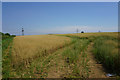
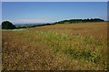
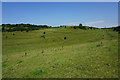
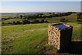
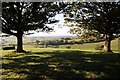
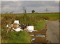
53 photos from this area
Area Information
Key information about the SN14 8HN including its size, population, and administrative classification.
- Area Type
- Postcode
- Area Size
- 65.1 hectares
- Population
- 1605
- Population Density
- 44 people/km²
House Prices in SN14 8HN
9
Properties
£1,422,000
Average Sold Price
£190,000
Lowest Price
£4,500,000
Highest Price
Showing 9 properties
| Address | Type | Beds | Baths | Last Sale Price | Last Sale Date | |
|---|---|---|---|---|---|---|
| The Old Rectory, Upper Street, Dyrham, SN14 8HN | Semi-detached | - | - | £4,500,000 | Aug 2024 | |
| Old Rectory Cottage, Upper Street, Dyrham, SN14 8HN | Semi-detached | - | - | £420,000 | Nov 2019 | |
| Rogers Orchard, Upper Street, Dyrham, SN14 8HN | Detached | 5 | 5 | £1,275,000 | Oct 2017 | |
| Gatekeepers Lodge, Upper Street, Dyrham, SN14 8HN | Detached | 4 | - | £190,000 | Jul 2017 | |
| The Cottage, Upper Street, Dyrham, SN14 8HN | Semi-detached | 4 | - | £725,000 | Jul 2013 | |
| The Stables, Upper Street, Dyrham, SN14 8HN | Semi-detached | 2 | 1 | - | - | |
| Boyd Brook House, Upper Street, Dyrham, SN14 8HN | house | - | - | - | - | |
| Gardeners Cottage, Upper Street, Dyrham, SN14 8HN | Semi-detached | - | - | - | - | |
| Wynter House, Upper Street, Dyrham, SN14 8HN | house | 2 | - | - | - |
Energy Efficiency in SN14 8HN
Amenities
Schools
| Rank | School | Type | Entry gender | Ages |
|---|
Explore more schools in this area
Go to Schools tabDemographics
Household Size
Two person
most common
Accommodation Type
Houses
most common
Tenure
80
majority
Ethnic Group
White
most common
Religion
N/A
most common
Household Composition
N/A
most common
Age
47
median
Adults (30-64 years)
most common
Household Deprivation
N/A
with no deprivation
NS-SEC
40
in Lower managerial occupations
Explore more demographic insights in this area
Go to Demographics tabPlanning
Planning Constraints
- Flood RiskPremium
- Ramsar Wetland SitesPremium
- Area of Outstanding Natural BeautyPremium
- Protected Nature ReservePremium
- Protected WoodlandPremium